Hi,
Only a couple of weeks left of winter and recently we’ve felt its presence with some more snowfall and cold temperatures, but, change is on the way. However, don’t be thinking of putting away those thick coats just yet, as winter might not be done with, after the recent Sudden Stratospheric Warming event.
Thursday: A reasonable day with some bright spells and milder than recently. There will be the odd wintry shower and a fresh breeze. Max 7°C
Friday: Dry with sunny spells and feeling pleasant. Max 8°C
Weekend: Mostly dry with light winds as pressure builds.
Saturday and Sunday: Mostly cloudy with some bright spells. Feeling quite mild. Just the risk of some drizzle in any thicker cloud, especially on hilltops. Max 9-10°C
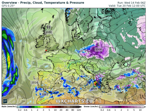
High pressure in charge next week so a lot of overdue drier weather on the way
Outlook: High pressure in charge and at first the position of the high will lead to mild and settled conditions. As the week progresses the high could well slip north and introduce cold, then very cold, easterly winds. Initially the focus will be on it feeling bitter but with a lot of dry and overcast weather.
Follow @ChadWeather on Twitter for your latest weather forecasts.
Thanks,
Jon
Forecast Issued at 13:45 on Wednesday 14th February 2018
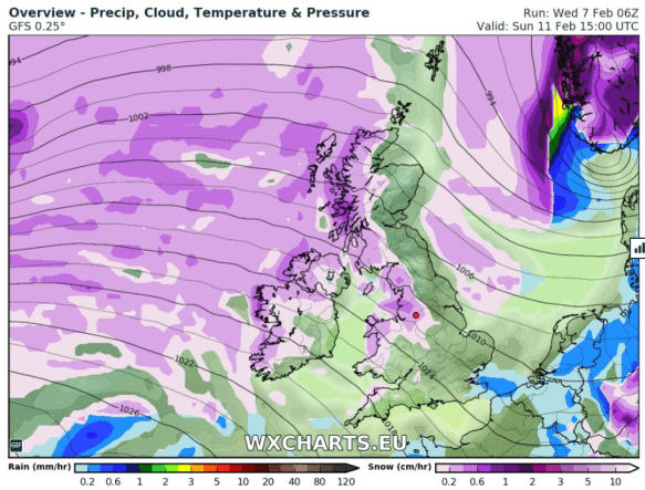
Image: http://wxcharts.eu