
Hi all,
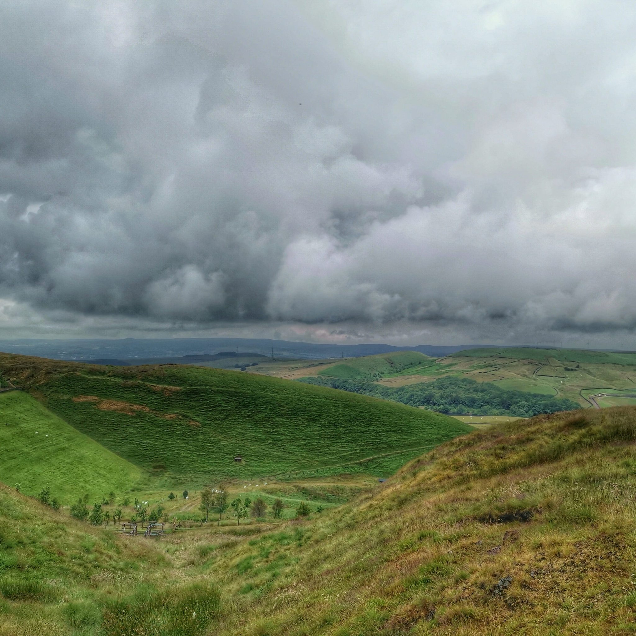
It’s been a wet and muggy start to July after a very dry June. Plenty of rain this week was welcome for the gardens and golf courses but what we really want is some summer-warmth and sunshine to return – I need my BBQ fix.
****Don’t forget UV levels are still high when the sun is shining.****
Thursday: A ridge of high pressure will begin to build from the southwest improving the weather. Dry with sunny spells. Chance of a shower in southern parts. Max 20°C
Friday: Similar day. Plenty of dry weather, bright or sunny spells during the morning with cloud bubbling as the day progresses. Low risk of a shower, more so the further east you are. Max 21°C
Weekend: Showers to return.
Saturday: A dry morning is expected with sunny spells and the odd rogue shower. Further showers brewing from lunchtime, locally heavy but these should be well-scattered and tend to ease towards evening. Not everyone catching one. Still warm with light winds. Max 21°C

Sunday: Sunny spells for the morning. Any sunshine becoming hazy as the afternoon turns mostly cloudy with patchy, showery rain coming in from the west. Quite humid with light winds. Max 21°C
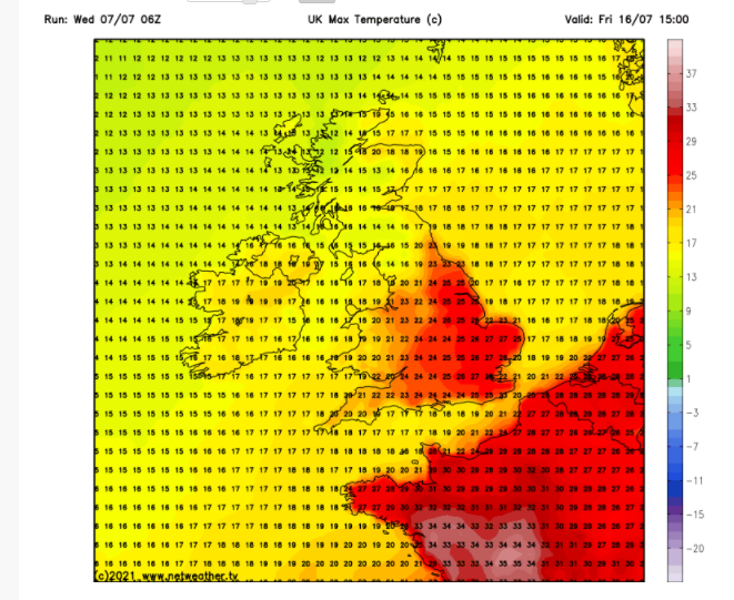
Outlook: After an unsettled few days, with showers continuing, it looks like high pressure will attempt to move in from midweek; well at least build in from the southwest with the ideal of taking hold. Sunny spells increasing and temperatures rising quickly, perhaps the mid-20s by the second half of next week. Fingers crossed. As always, with long-range forecasts they are not set in stone, so keep up-to-date on Twitter.

June 2021 Stats:
Max 24.1°C (2nd)
Min 6.8°C (22nd)
Av. 15.2°C
Av. Dew Pt 10.2°C
Wettest 3.8mm (25th)
Av. Humidity 73%
Av. Barometer 1019.8 hPa
Max Gust 27.6mph (3rd)
Av. Wind Direction NNW
Rain 9.8mm
Rain Registered Days 5
Dry Days 25
Follow @ChadWeather on Twitter for the latest forecasts.
Thanks,
Jon
Forecast Issued: Wednesday the 7th of July 2021 at 16:35
Images: http://www.netweather.tv and http://www.meteociel.fr
