
Hi all,
Autumnal conditions continue with more rain today, albeit patchy. It’s certainly been a wet start to October, with the monthly total already up to 35mm. There’s little in the way of anything settled and sunny for a prolonged period on the horizon, so you’ll have to make the most of some sunshine on Thursday.
Thursday: A decent day as we avoid weather systems. Sunny spells, light winds and feeling pleasant. Max 15°C
Friday: Strong and blustery westerly winds bringing a few showers/showery rain at times. Hopefully some sunny spells and drier conditions to end the day. Max 13°C
Weekend: Jet Stream back in charge. Unsettled and feeling cool at times.
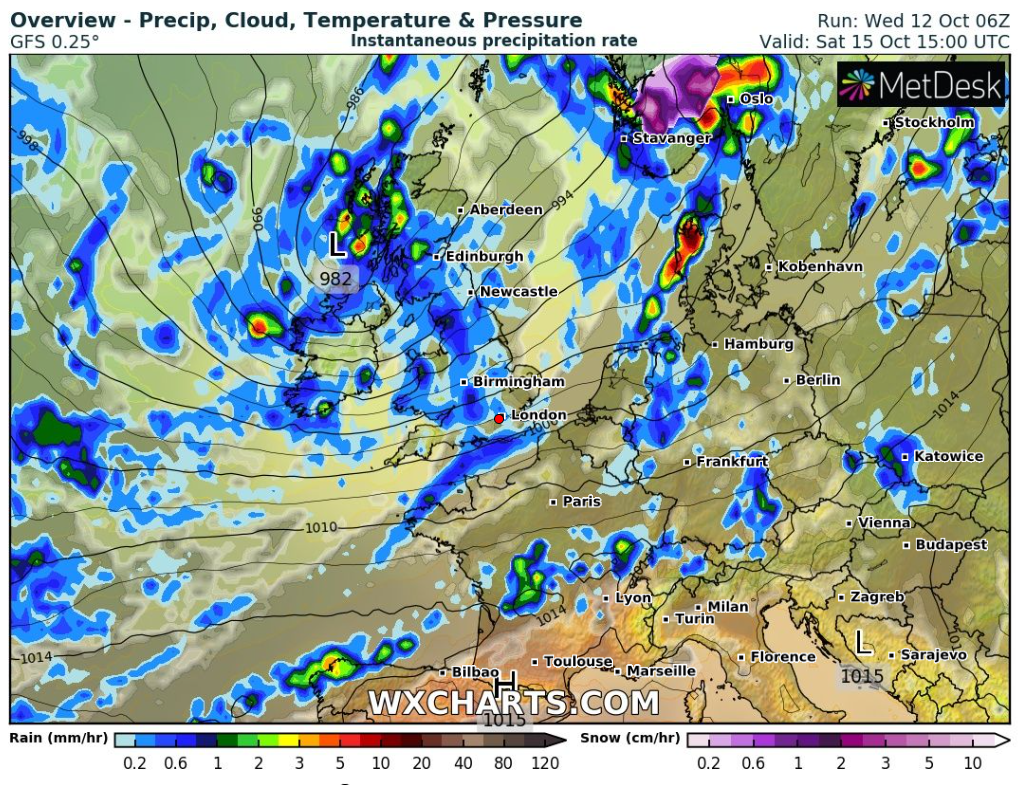
Saturday: Windy with showers continuing as clouds bubble up during the day. Again, some of these showers could be heavy and thundery and winds will be gusty when they arrive. Max 13°C
Sunday: Little change. If anything a little less windy and showers perhaps more scattered, especially later. Cool. More general rain overnight and into Monday morning. Max 12°C
Outlook: Hard to see anything but limited bright spells and showers as low pressure stays out to our west/south-west and in control of our weather. Nights are now looking mild as we keep a south-westerly airflow. Temperatures back up into the mid-teens early on but overall we will tend to see around average maximum temperatures for the time of year.
Follow @ChadWeather on Twitter for the latest forecasts and warnings.
Thanks for reading as always.
Jon
Forecast Issued: Wednesday the 12th of October 2022 at 4:10pm
Image: http://www.wxcharts.com
