Hi all,
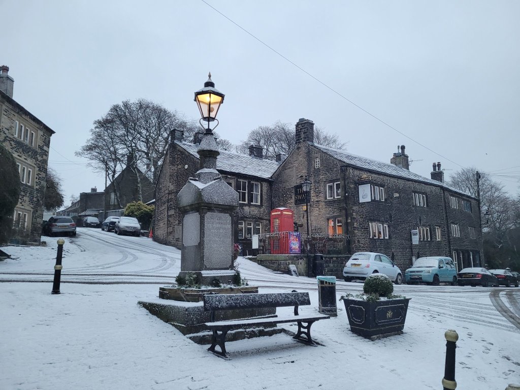
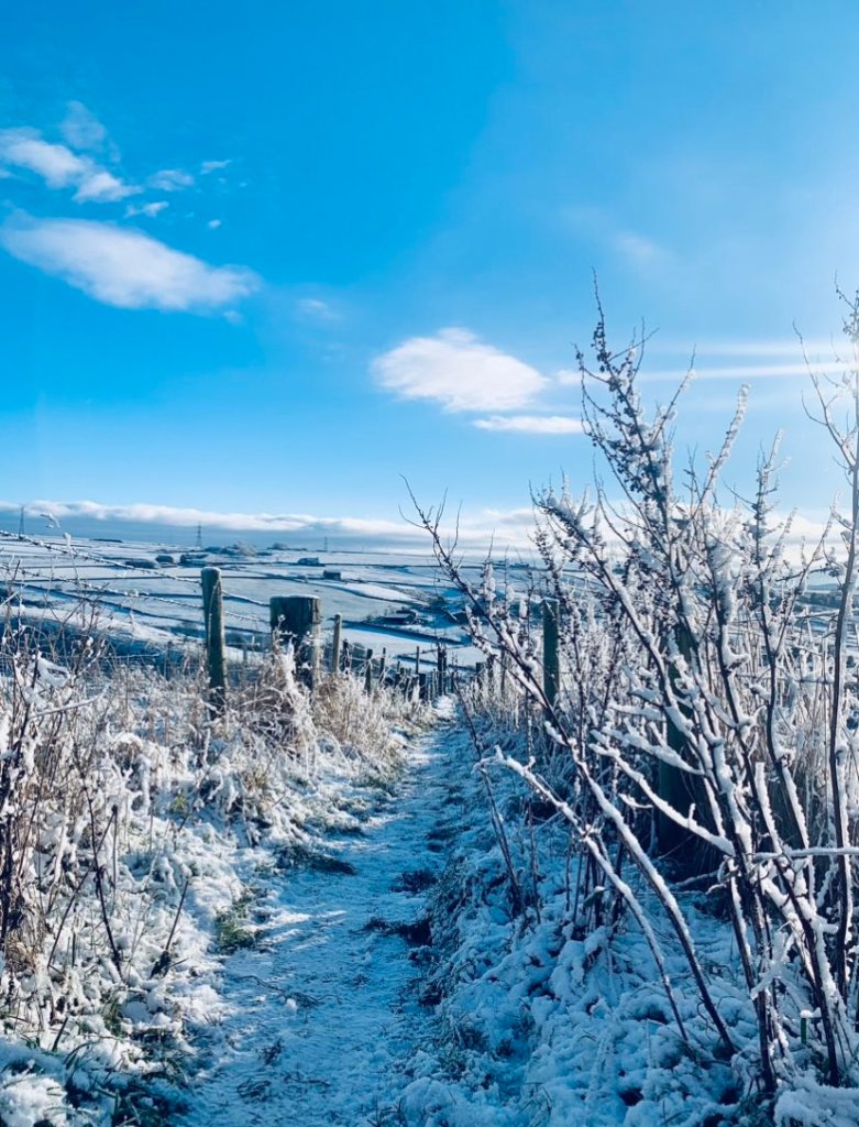
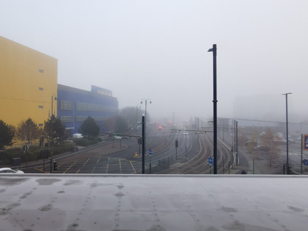
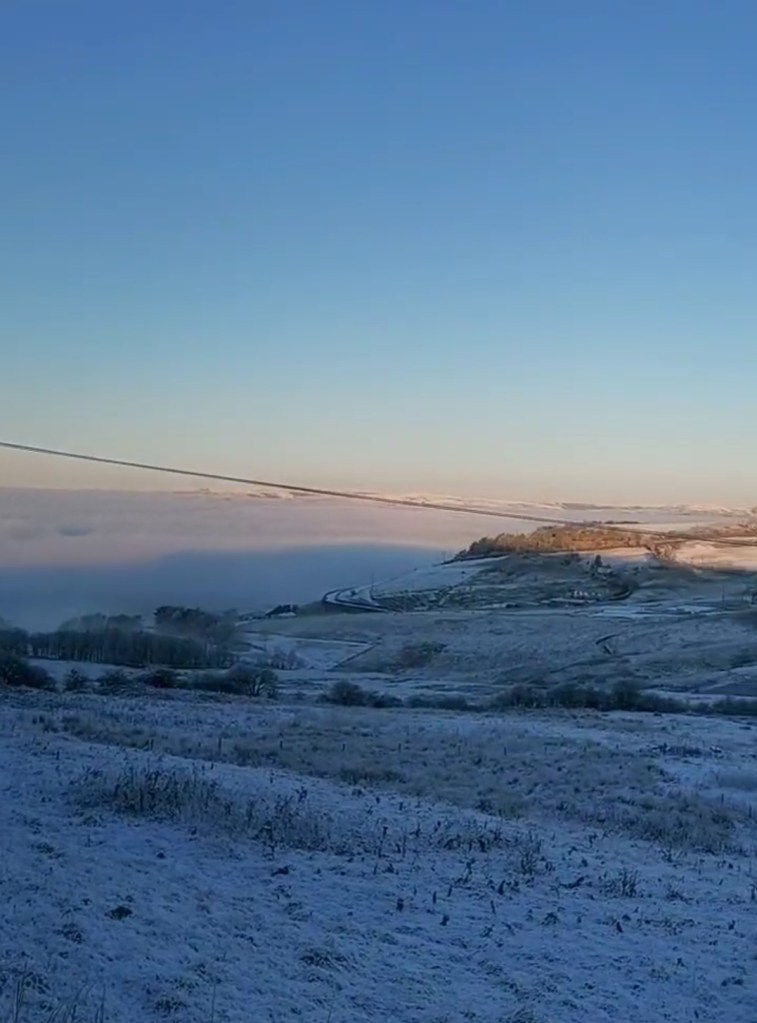
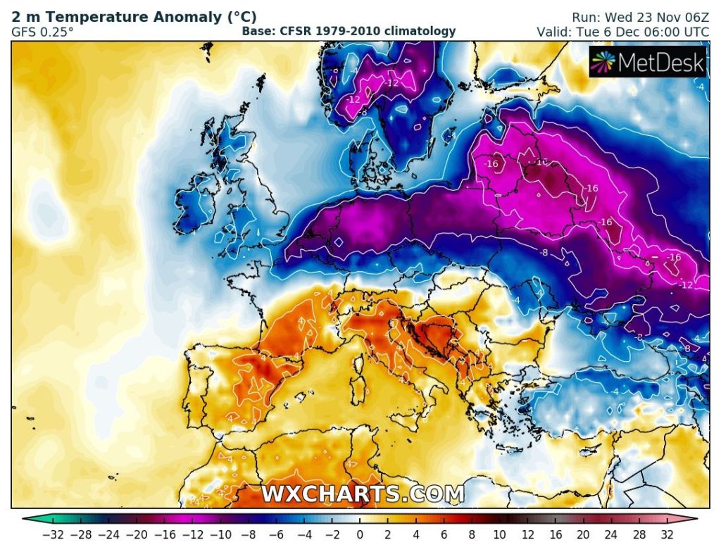
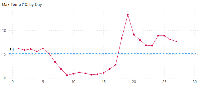
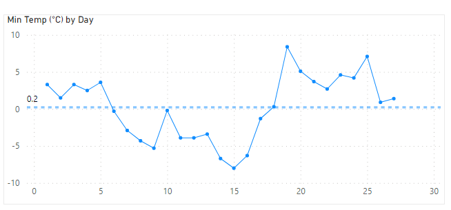
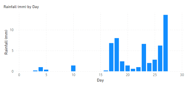
Another year comes to an end. The older you get the quicker time goes and every winter doesn’t seem like it was years ago. At least this winter started with a very notable cold spell with some lovely blue skies and Arctic air. We’ve returned to a more typical December now, with wind, rain and milder temperatures. This pattern can clearly be seen on December’s charts below. Data from Chadderton HQ via a Davis Vantage Pro 2.
Thursday: Windy and feeling cold with a strong wind. Bright spells here and there but equally some wintry showers, especially across the north. Max 7°C
Friday: Early rain clearing quickly to blustery showers, some could be thundery. Milder and windy. Max 10°C
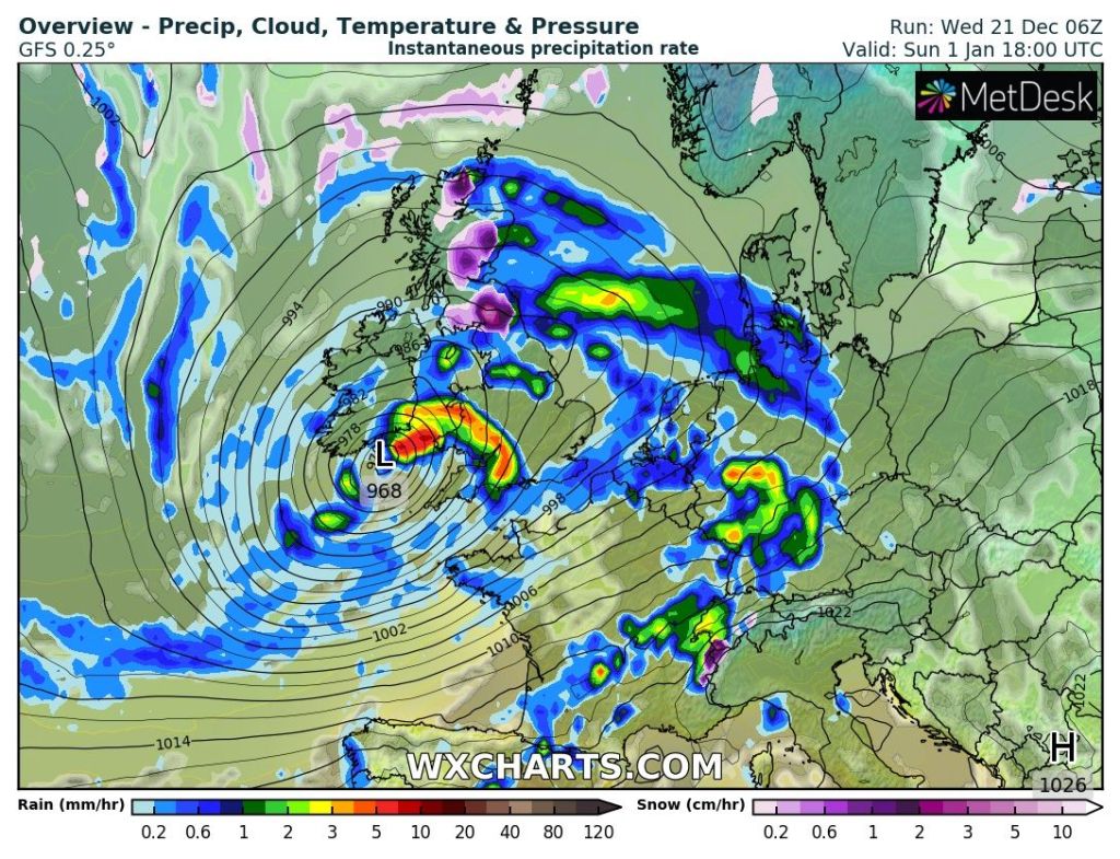
New Year’s Eve: A showery day in prospect with some hail and perhaps thunder and lightning mixed in. Another windy day and mild for the time of year. Max 9°C
New Year’s Day: Improvements. Bright spells and scattered showers. Breezy. Cooler. Max 7°C
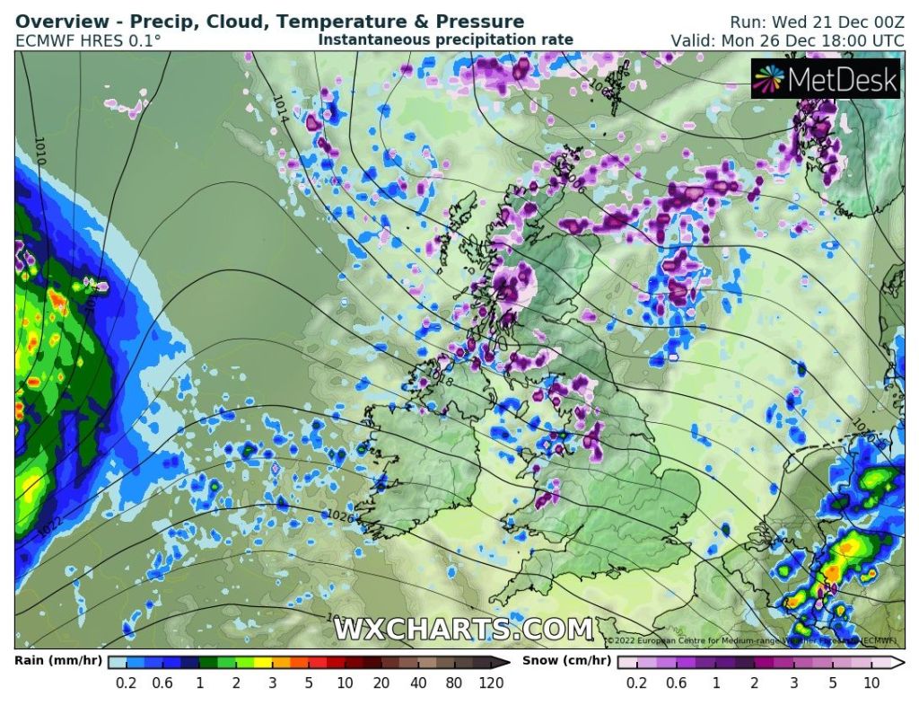
Bank Holiday Monday: Tricky forecast as a small area of low pressure might sit across us bringing showery rain which will ease during the day. The track and development of the low isn’t certain and if it doesn’t come off then a drier day is in order with sunny spells. Max 7°C
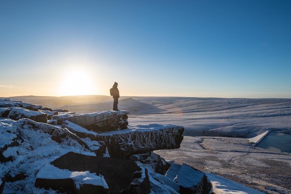
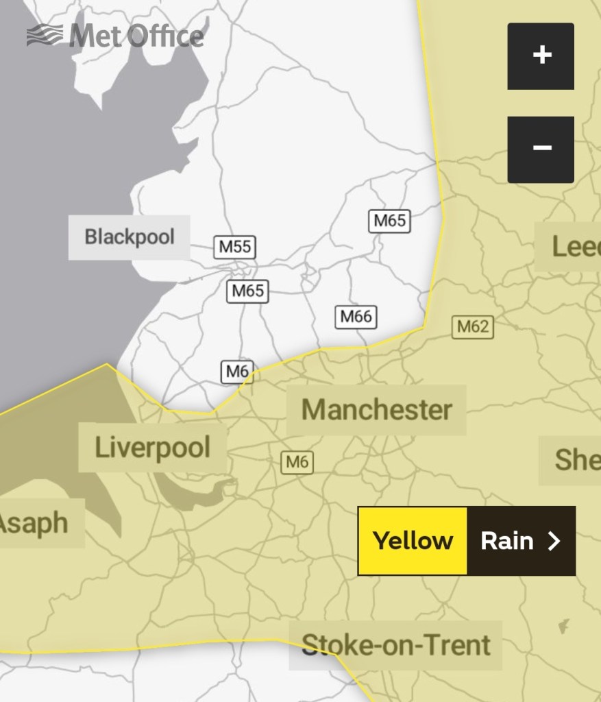
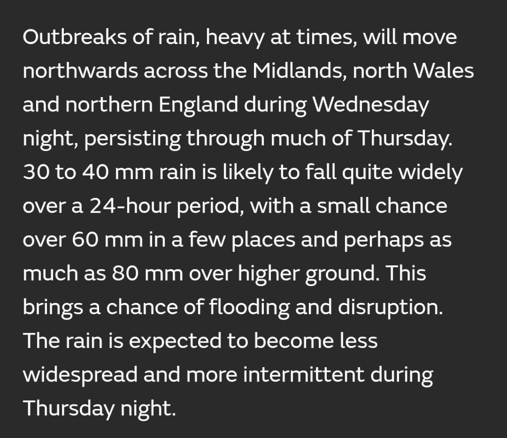
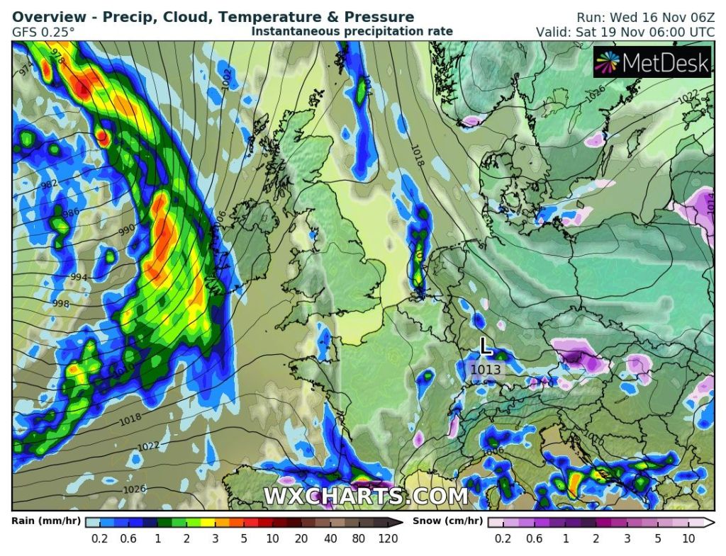
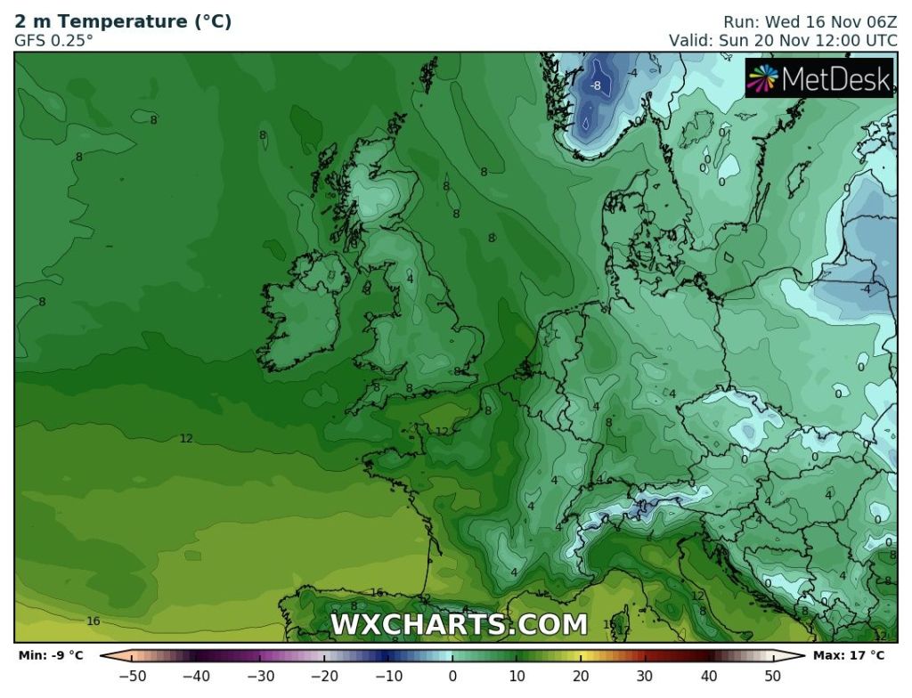
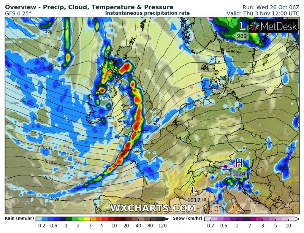
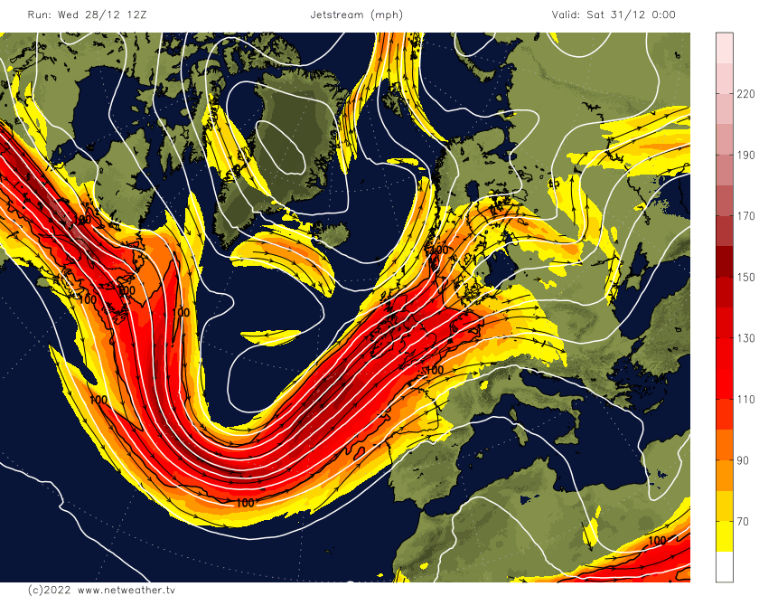
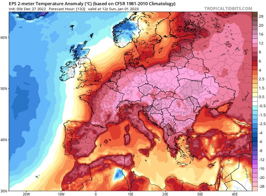
Outlook: Little change expected as the Jet Stream looks set to drive most of the weather into the second week of January. This means more spells of rain and wind at times; drier spells in between but nothing significantly cold and any snow confined to the highest peaks of the Pennines. Even frosts will be hard to come by.
Follow @ChadWeather on Twitter for the latest forecasts and warnings.
Finally, I hope you all had a good Christmas and all the very best for the year 2023.
Thanks,
Jon
Forecast Issued: Wednesday the 28th of December 2022 at 8:10pm.
Images: http://www.netweather.tv & http://www.tropicaltidbits.com