Hi,
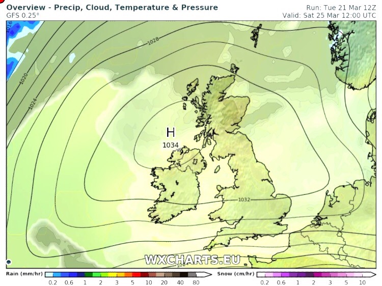
This has to be one of the quietest forecasts for a while. We have high pressure anchored across the U.K. so not a lot happening, however a warm weekend ahead! BBQ time on Sunday if we just hang on to the sunshine?
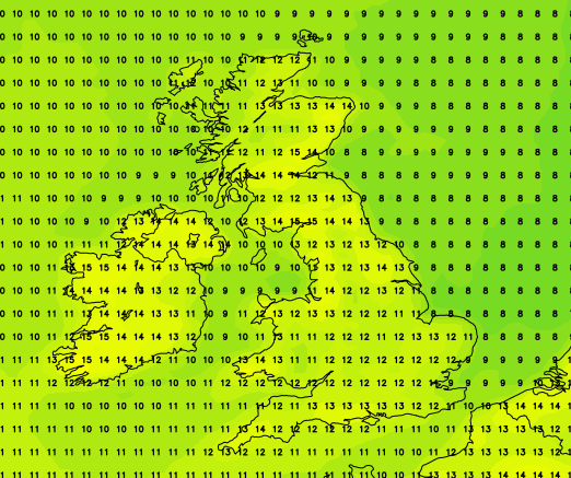
Thursday & Friday: A lot of dry weather with variable amounts of cloud. Where the cloud gets thin enough, we will see some bright spells and equally, where slightly thicker, then some localised drizzle, especially on higher ground. Feeling cool. Max 11°C
Saturday: High pressure still in charge and hopefully more in the way of sunshine (especially later on) and therefore warmer as winds turn southerly bringing drier air. Max 15°C
Sunday: Looking a decent day but the only downside is the sunshine that develops might become hazy and it could be cloudier if you’re planning to go to the west coast. Warm sunshine developing inland and somewhere could see the first 20°C of the Spring. Later on Sunday and into Monday the high will be slipping away towards Europe so clouds increasing from the west and becoming cooler. So a good warm spell of weather this weekend but it doesn’t last. Max 20°C
Outlook for Easter: A tricky one as low pressure (rainy) will return but then high pressure (settled) tries to force its way back in. At the moment it looks like Easter will start with some rain at times and cooler but dry up in time for Easter Sunday. As always look out for updates on Twitter at @ChadWeather.
March 2017 Stats
Max 16.1°C (30th)
Min 0.1°C (2nd)
Wettest 19.2mm (17th)
Windiest 34mph (18th)
Rain 104.2mm (above av.)
Rainy Days 25
Dry Days 6
Snow Falling Days 1
Snow Lying Days 1
Thanks,
Jon