
Hi all,
At the time of writing we have a weather warning coming into force this evening and into Thursday for thunderstorms. This will bring much-needed rain but perhaps too much rain in a short space of time which could lead to some flash-flooding given how hard the ground is. It’s been a prolonged dry spell but we have now recorded rain on the last 4 out of 5 days with a total of 15mm recorded at HQ.
There is a bit more rain on the way but high pressure should start to nudge in towards the weekend and bring a settled spell of weather which should last until early next week. Here’s the forecast for the next 4 days and the outlook in detail.
Thursday: There will be some heavy rain around for the morning which could be thundery and there will be a cool north-to-northeasterly breeze developing. Into the afternoon the heavy rain will break up and become more showery. Breezy and a cold one overnight. Cool. Max 17°C Min 8°C Max Gusts 20mph
Friday: A chilly start with sunny spells for the morning but cloud will bubble up into the afternoon with a few showers. Still the odd heavy one but nothing like recent days. Clear spells overnight and again another cool one. Autumn is not far away. Max 18°C Min 7°C Max Gusts 15mph
Weekend: High pressure is back.
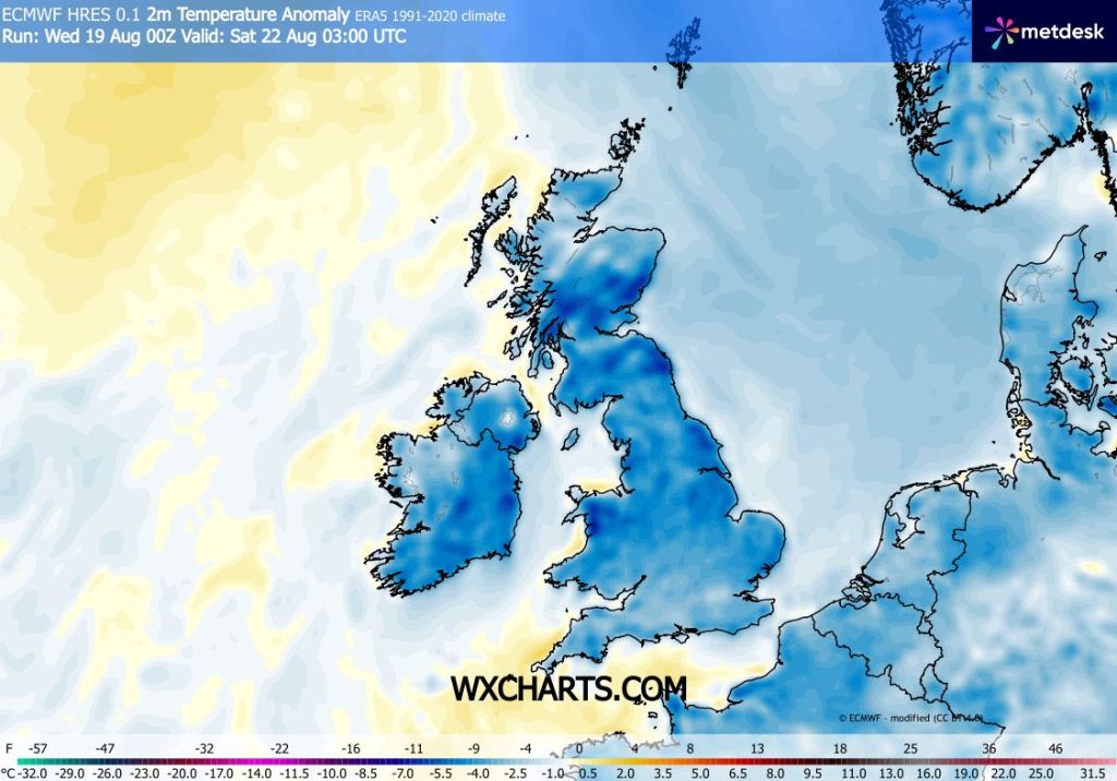
Saturday: Mostly dry with sunny spells and light winds. Feeling pleasant in the sunshine and don’t forget that UV levels are still high at around 6. I can’t rule out a shower though. Max 18°C Min 8°C
Sunday: Very similar to Saturday but hopefully all places will be dry with sunny spells and feeling pleasant but still temperatures on the cool side compared to recent weeks but warm in the sun. Max 19°C Min 9°C Max 15mph
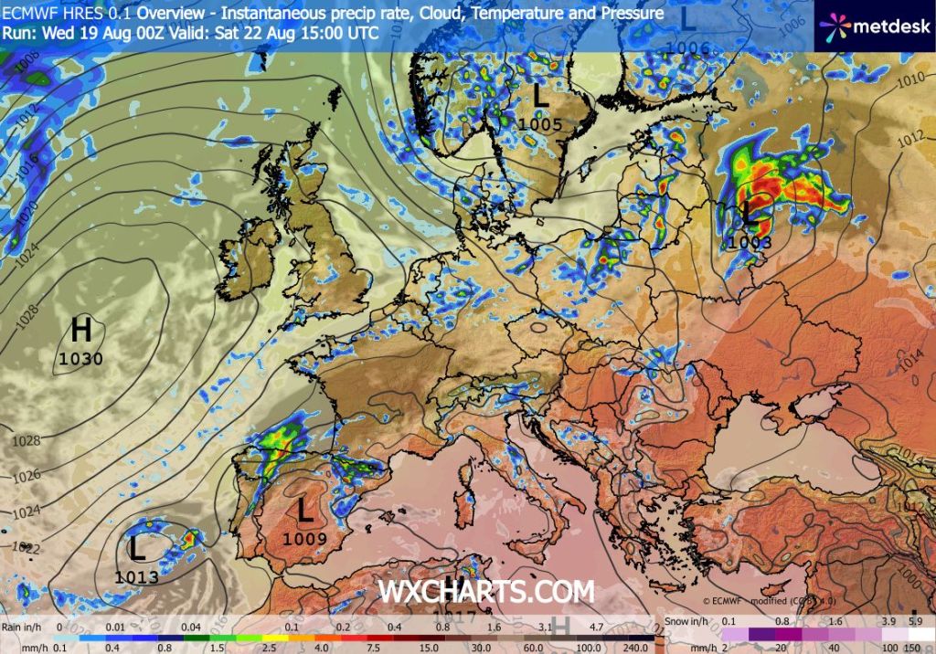
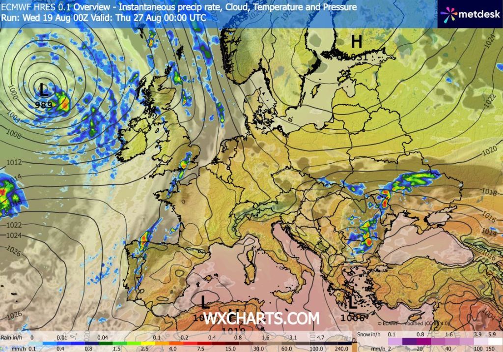
Outlook: Warm and sunny on Monday but after that the weather slowly goes downhill with cloudy conditions and rain or showers developing, again possibly thundery. No heatwave on the horizon.
Follow @ChadWeather on X and Bluesky for the latest forecast and warnings.
Thanks as always, for popping by to read.
Jon
Forecast issued: Wednesday the 19th of August 2026 at 5:30pm
Images: http://www.wxcharts.com

