Hi all,
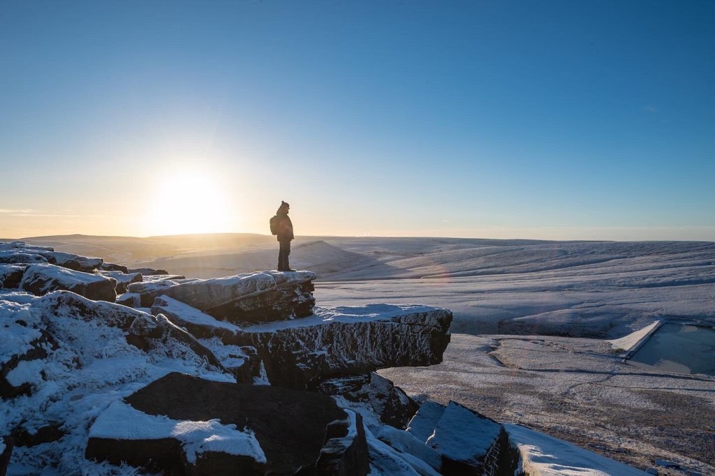
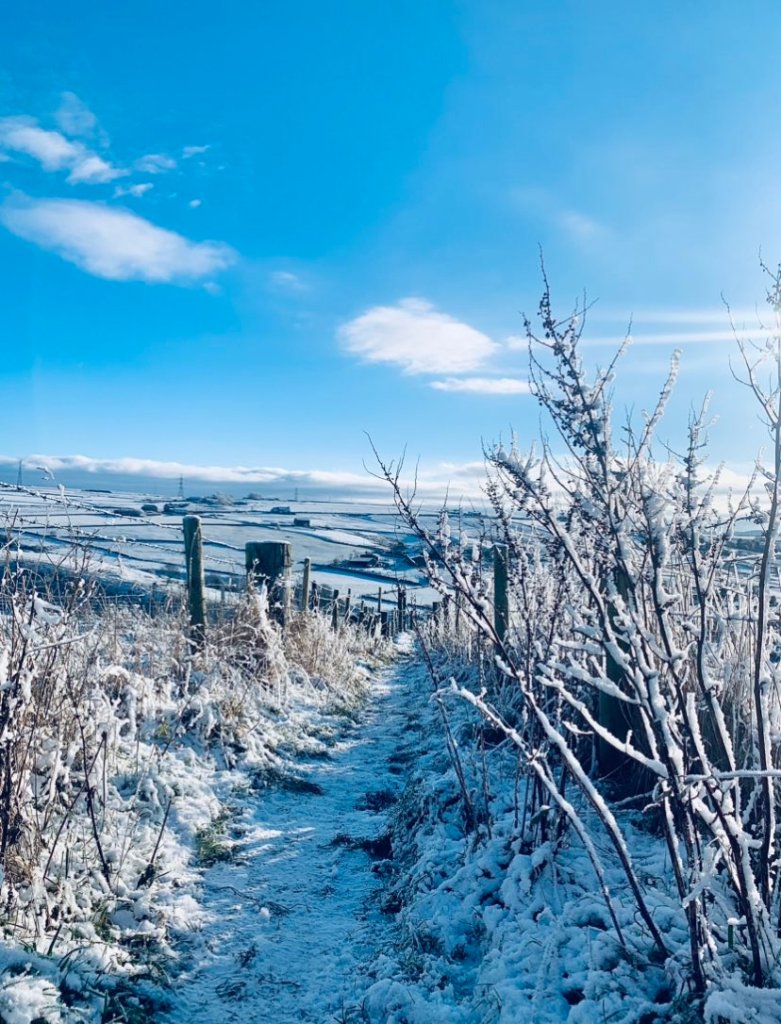
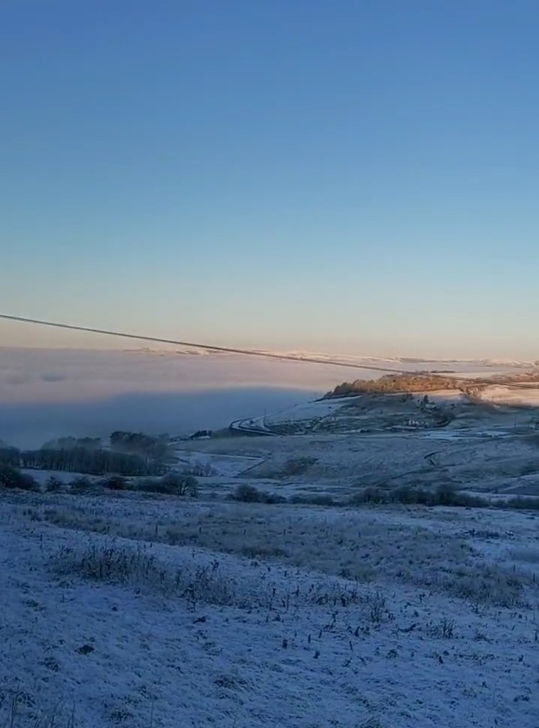
We can’t predict what the rest of this winter will bring, but it will take something to beat the recent, lengthy cold spell that we encountered, even if for the majority of us, we didn’t see any significant snowfall. I’m sure we’ll see some decent snowfall at some point over the next couple of months or so, but it’ll be hard to beat those minimum temperatures.
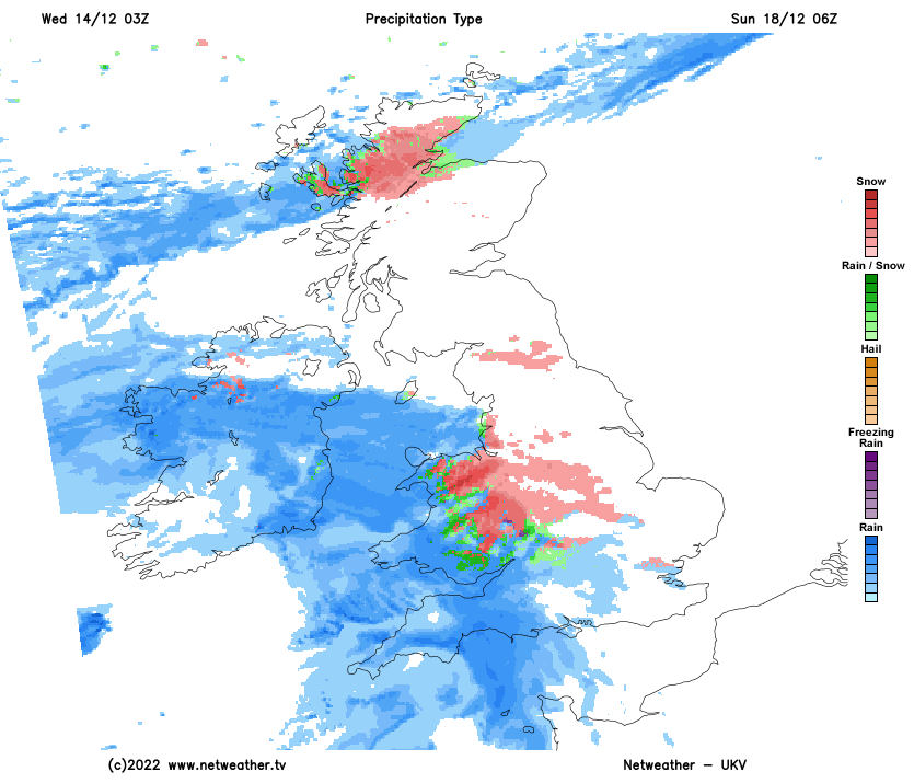
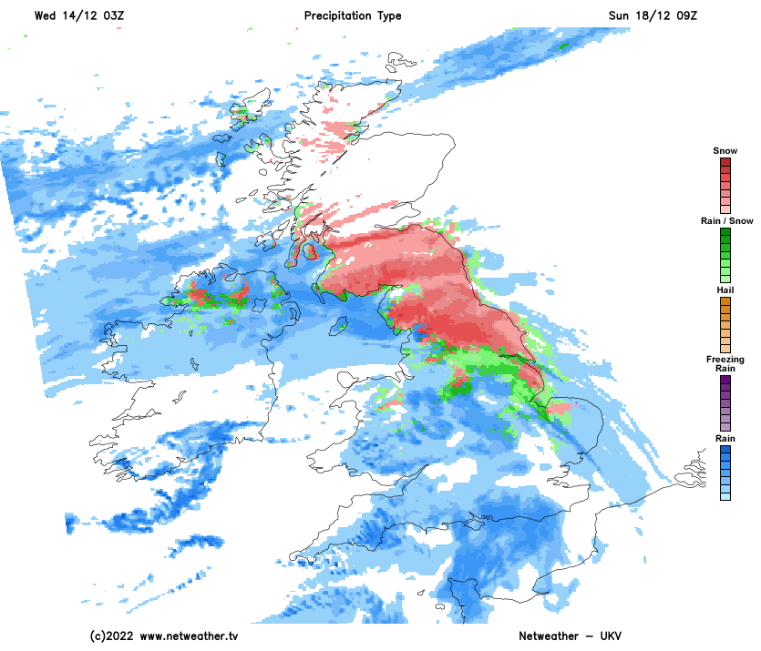
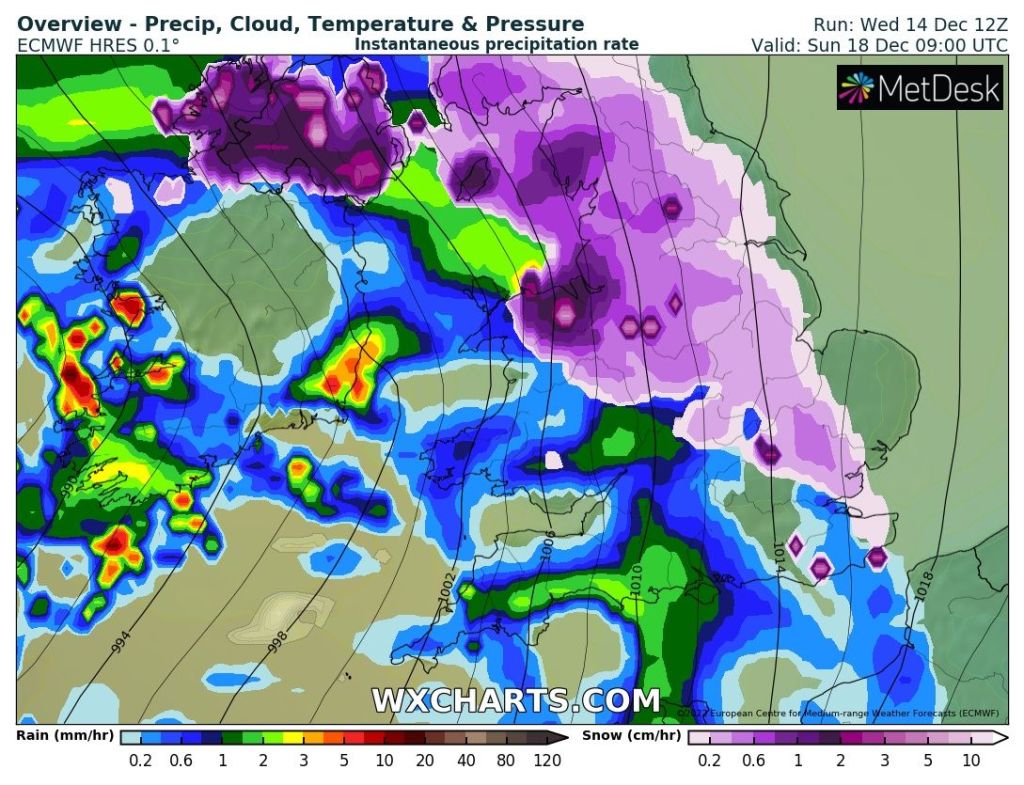
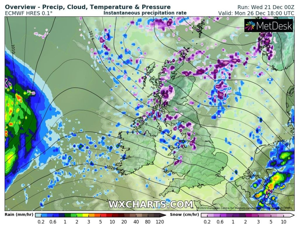
I’ve been looking at the computer models today and they are swinging one way then the other and forecasting what the weather will bring over the festive period is tricky. I’ll give you a mostly likely scanerio as usual, but this time it really is subject to change, so keep an eye on Twitter for updates. There’s a bit of a battle going on with cold air to the north and milder air to the south. Apart from a chilly blast on Boxing Day, we’ll stay in the milder air.
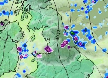
Will we see a White Christmas? No seems certain. The only hope was some evening wintry showers but these showers within colder air looks set to arrive on Boxing Day instead.
Thursday: Any early bright skies fading as cloud thickens from the west. Patchy rain here and there with low-cloud or mist for the hills. Feeling chilly but generally light winds. Max 7°C Min 4°C
Friday: It really looks a poor day. Cloudy with rain, heavy and persistent, will spread up from the southwest. This will hang around all day until turning drizzly into the evening. Cold and windy. Some sleet or wet-snow on the highest peaks of the Pennines. Max 7°C Min 4°C
Christmas Eve (Saturday): Bright spells and showers. Some of these will be blustery with hail. Mild for the time of year. Max 9°C Min 5°C
Christmas Day (Sunday): Mostly cloudy with showers. These will ease as the day progresses and it will turn a little cooler later in the day/overnight. Max 8°C Min 2°C
Boxing Day (Monday): Fresh with sunny spells and a few wintry showers perhaps giving a covering of snow on the hills. Max 5°C Min 0°C
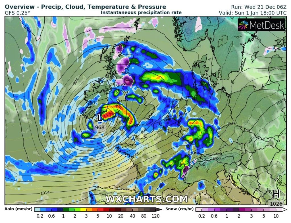
Outlook: The rest of the week looks quite unsettled with further spells of showers or rain and with the colder air just staying to our north, snow looks unlikely.
Follow @ChadWeather on Twitter for the latest forecasts and warnings.
I would like to take this opportunity to wish you all a very Merry Christmas and all the best for 2023. Thanks for reading my weekly blog and for all your interactions on Twitter this year.
Thanks,
Jon
Forecast Issued on Wednesday the 21st of December 2022 at 5:30pm.
Images: http://www.wxcharts.com