Hi all,
Headline: Colder with snow for some of us.
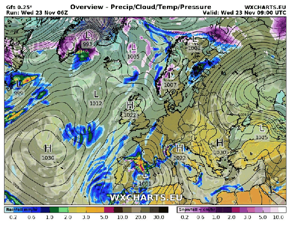
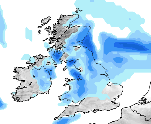
Thursday: A very cold northwesterly wind in place which will bring some rain, hail, sleet & snow showers. Some of the snow will settle leading to tricky driving conditions with some ice later but this is expected to be in areas that are above 225M. You can reference the local elevation map or use the link to see what height you are above sea level. Max 3°C but feeling sub-zero in the wind.

A bitter Thursday with rain, hail, sleet and snow showers in the mix. Snow settled above 200-250M
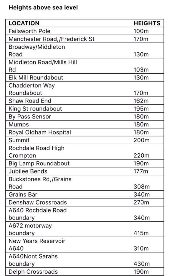
Local locations with their height above sea level
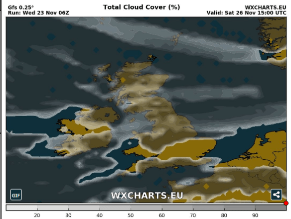
Saturday: Apart from the odd wintry shower, it looks mostly dry with sunny spells and a cold northerly or northwesterly breeze after a frosty start. It will turn frosty again later in the evening but it is likely to cloud over by morning. Max 3°C
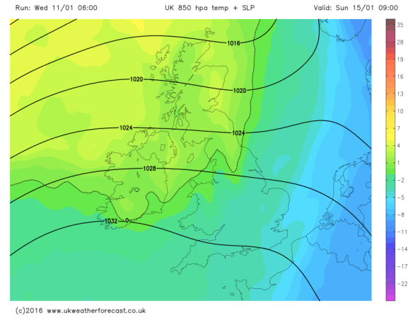
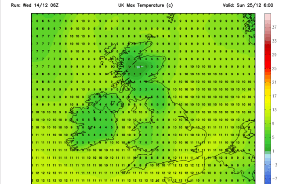
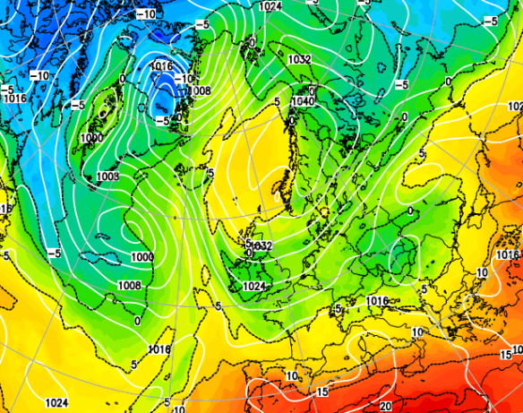
Milder air comes in from the NW during Sunday recovering temperatures
Looking ahead: Mild initially but turning slowly colder from midweek with a chance of a cold easterly feed being established.
Keep up to date via my Twitter account, @ChadWeather.
Thanks,
Jon
Images: http://www.chorleyweather.com/, http://ukweatherforecast.co.uk and Oldham Council.
Forecast issued at 16:30 on the 11th of January 2017.