Hi all,
After a couple of weeks of unsettled weather and some heavy and persistent rain and a wet October, our weather has settled down now thanks to high pressure. This high pressure is going to slip away to the east over the next few days and this will allow a slack area of low pressure to develop over the region at the weekend.
Thursday: Quite a breezy day taking the edge off the temperature a little and it should be a day of sunshine and a few fleeting showers from the east. Max 11°C Min 6°C Max Gusts 25mph
Friday: A cloudier day after any early brightness fades. It should remain dry; however the cloud will now be getting slightly thicker, so I cannot rule out some drizzle on the hilltops. Lighter winds. Max 10°C Min 5°C Max Gusts 15mph
Weekend: A little benign.
Saturday: Low pressure, albeit weak and slack will be across the region, so expect cloudy conditions and some patchy rain can’t be ruled out. Feeling cool with light winds. Max 10°C Min 6°C
Sunday: Again, quiet and cloudy but hopefully any patchy rain moves north and some bright spells break through later in the day. Max 9°C Min 5°C
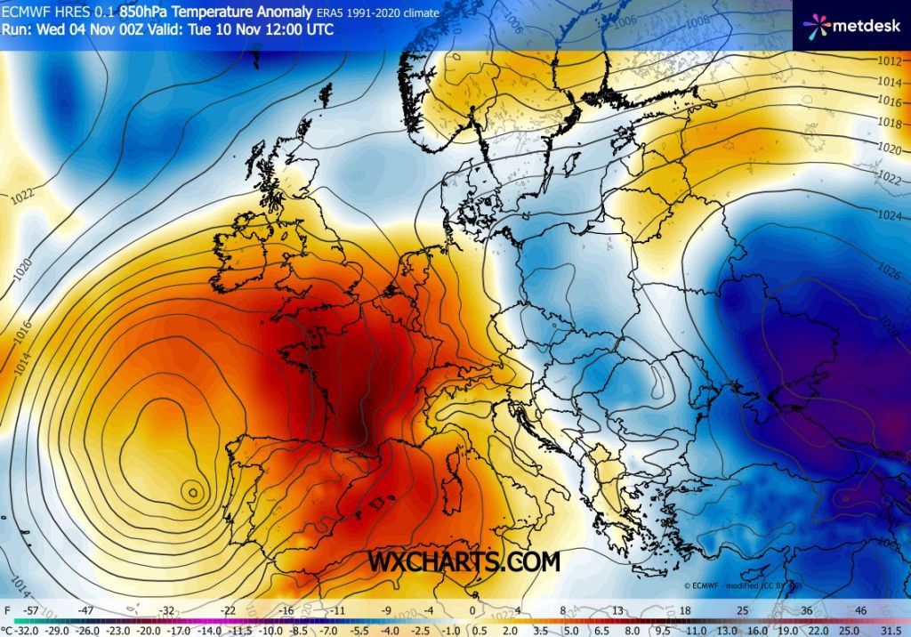
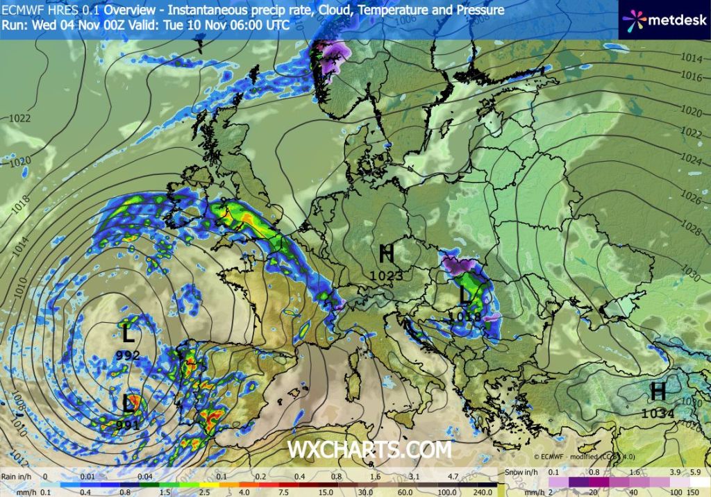
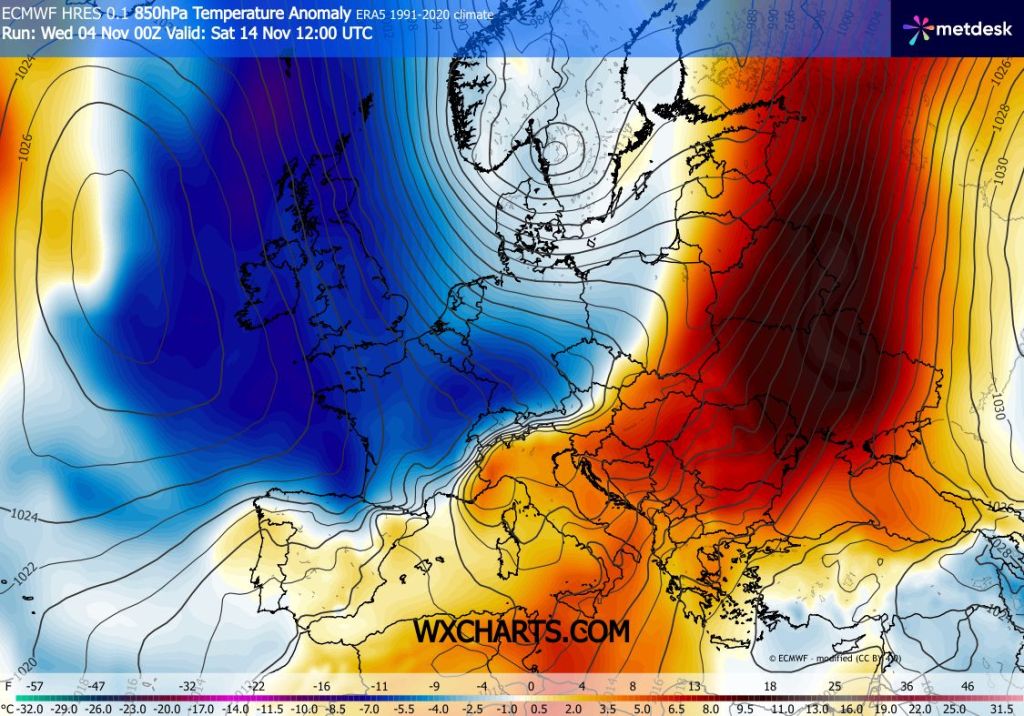
Outlook: Milder into next week and a keen wind picking up as an area of low pressure swings some bands of rain up from the southwest. Not a significant area so no named-storm or wild conditions expected. After that, there are signs of some colder air from the north as we head into next weekend. Nothing unusual for the time of year but hopefully it will bring some welcome sunshine and some frosty nights.
Follow @ChadWeather on X and Bluesky for the latest forecasts and warnings.
Thanks,
Jon
Forecast Issued: Wednesday the 4th of November 2026 at 5:34pm
Images: http://www.wxcharts.com.

