Hi all,
Early blog this week as another busy day on the cards!
The first 2 weeks of November were very dry with only 1 day of rainfall (0.4mm) but we have made up for it since with 4 consecutive days of rainfall, with Tuesday the standout wet day which saw rain, sleet & briefly some hill-snow push northeast across the region during the early hours. Our month total stands at 18mm, so still well below average (average being 68mm at this stage in the month).
Some more rain to come but a ridge of high pressure will be arriving as well as colder air.
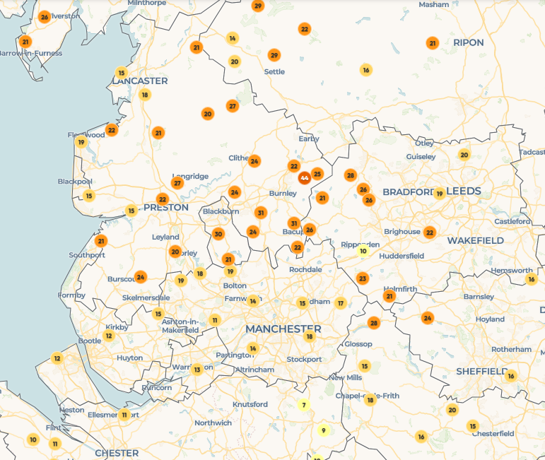
Thursday: Another cloudy day with some patchy rain for the morning but tending to dry up into the afternoon with any late brightness creeping into the far north of the region. Ground-frost overnight. Max 8°C Min 1°C Max Gusts 25mph
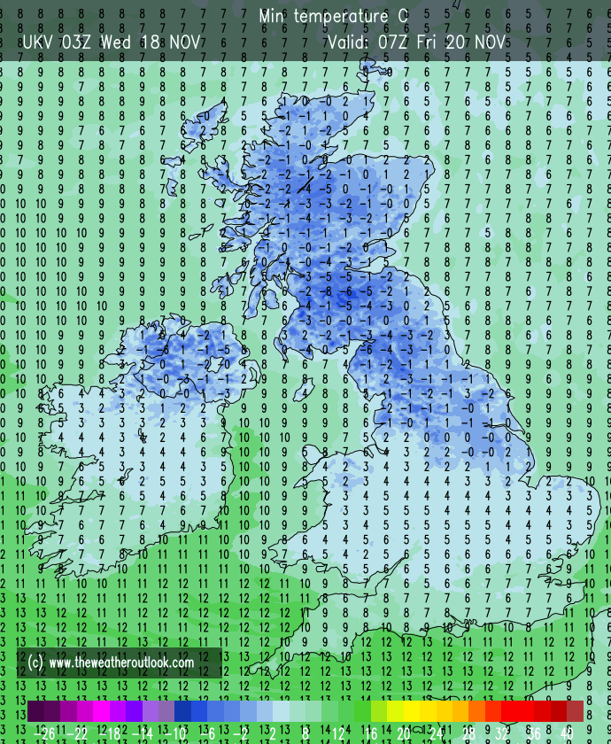
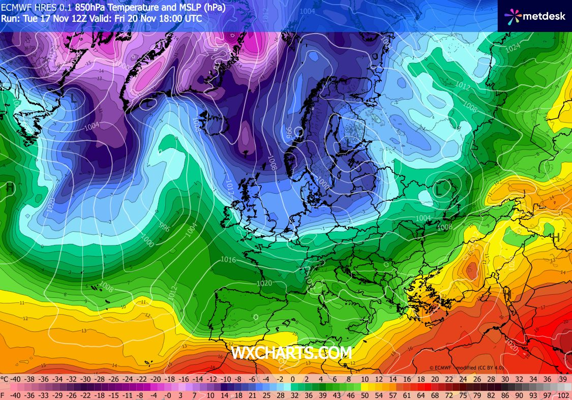
Friday: Hopefully a sunny day as brighter weather and colder air comes down from the north. There is a chance however that rain-bearing clouds to our south take their time to push away so don’t be surprised to see a cloudy start, especially the further south you are. Sub-zero overnight with a blanket of frost. Max 7°C Min -5°C Max Gusts 15mph
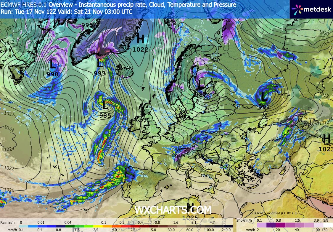
Weekend: Not bad with a cold wind by Sunday.
Saturday: Light winds, a widespread frost and some mist and fog to start and then a dry day with sunny spells. The sunshine will be hazy at times with high-cloud as weather-fronts aren’t too far away to our south-west. Some patchy frost returns into the evening but lifting later as the wind picks up. Max 7°C Min -2°C Max Gusts 25mph
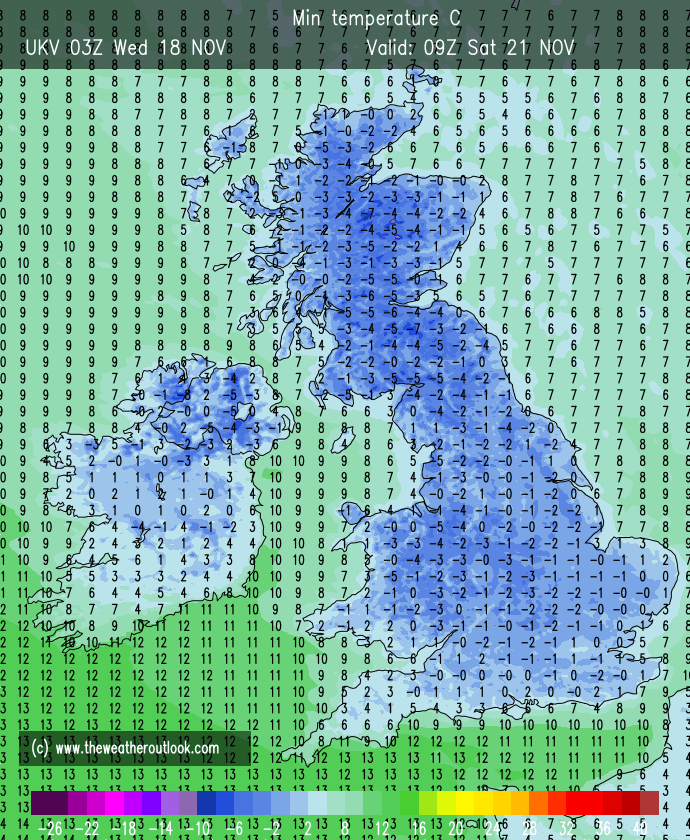
Sunday: A biting southeasterly wind picking up as rain pushes into the southwestern parts of the UK. We should remain dry with bright, hazy skies then cloud thickening. Max 7°C Min 2°C Max Gusts 25mph
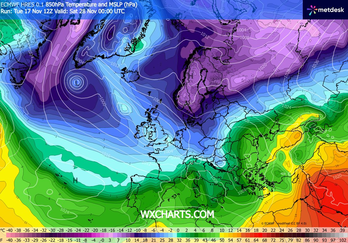
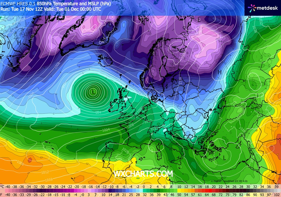
Outlook: Low pressure to our southwest will push weather-fronts across the region so expect rain on Monday. Midweek rain eases with an cold easterly wind picking up. Remaining mostly cloudy with us in between weather systems, temperatures around average and cool overnight under any clear skies.
Follow @ChadWeather on X and Bluesky for the latest forecasts and warnings.
Thanks,
Jon
Forecast Issued: Wednesday the 18th of November 2026 at 9:30am
Images: http://www.floodforecast.co.uk & http://www.wxcharts.com

