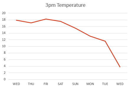
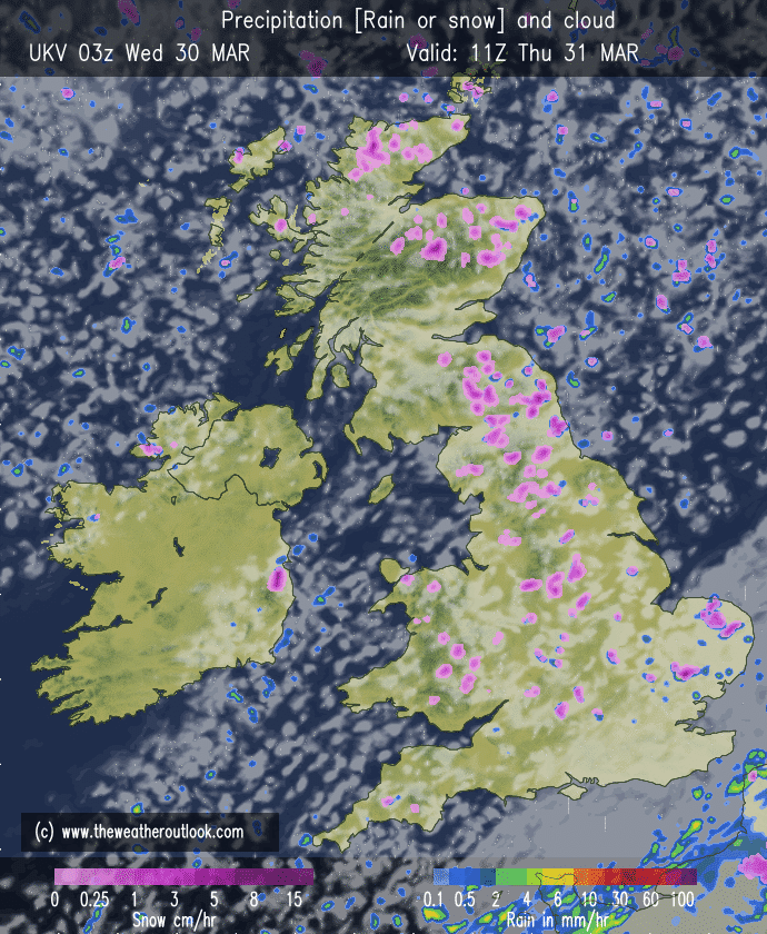
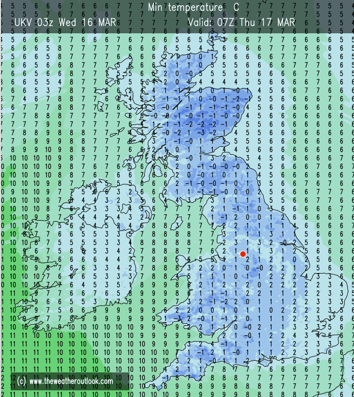
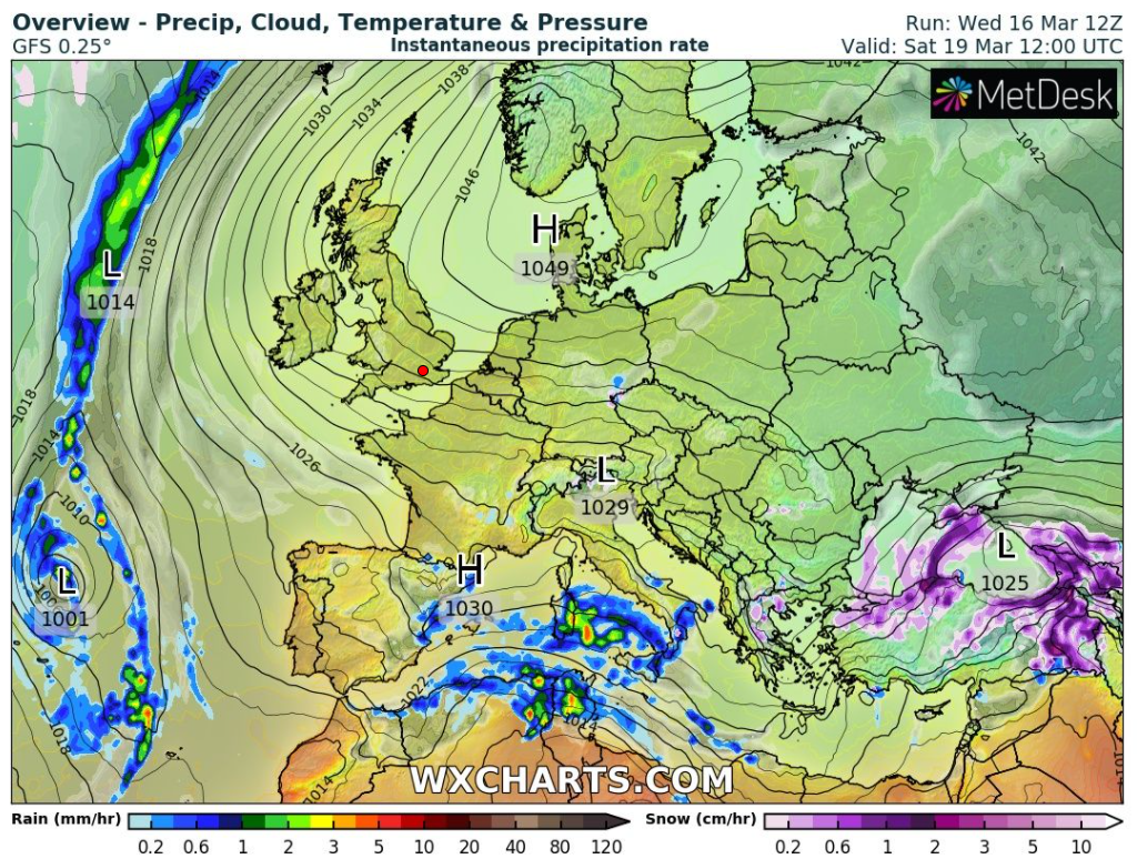
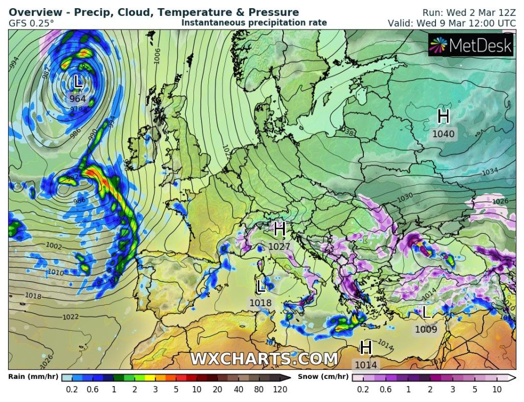
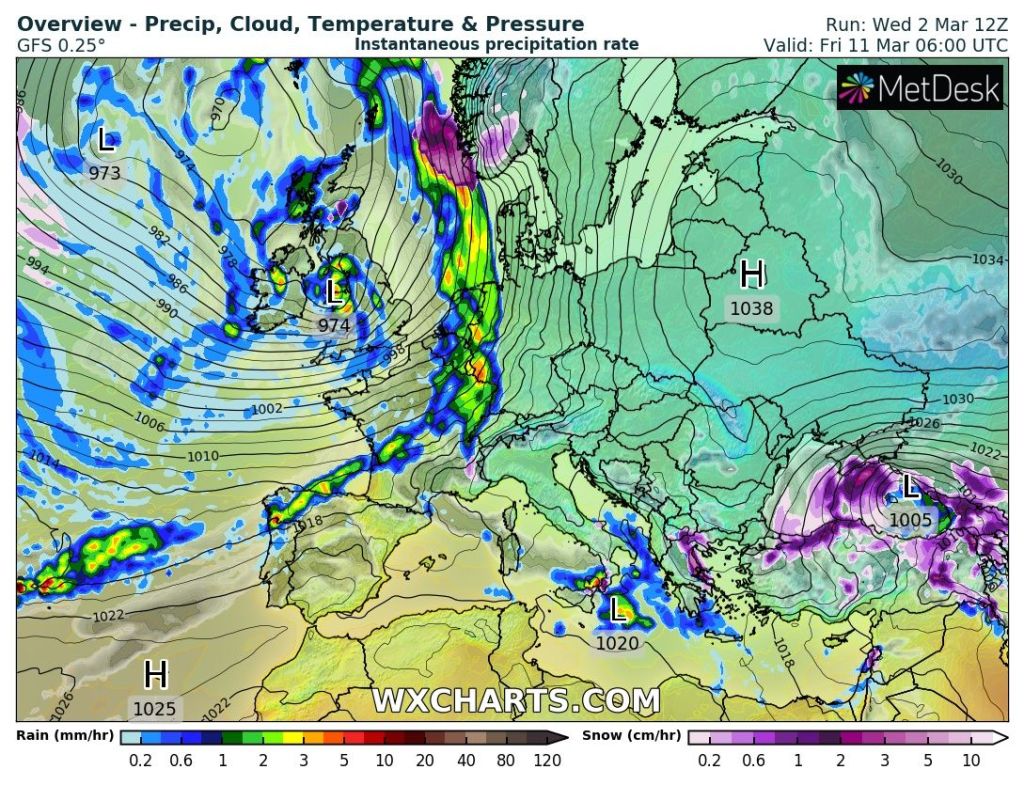
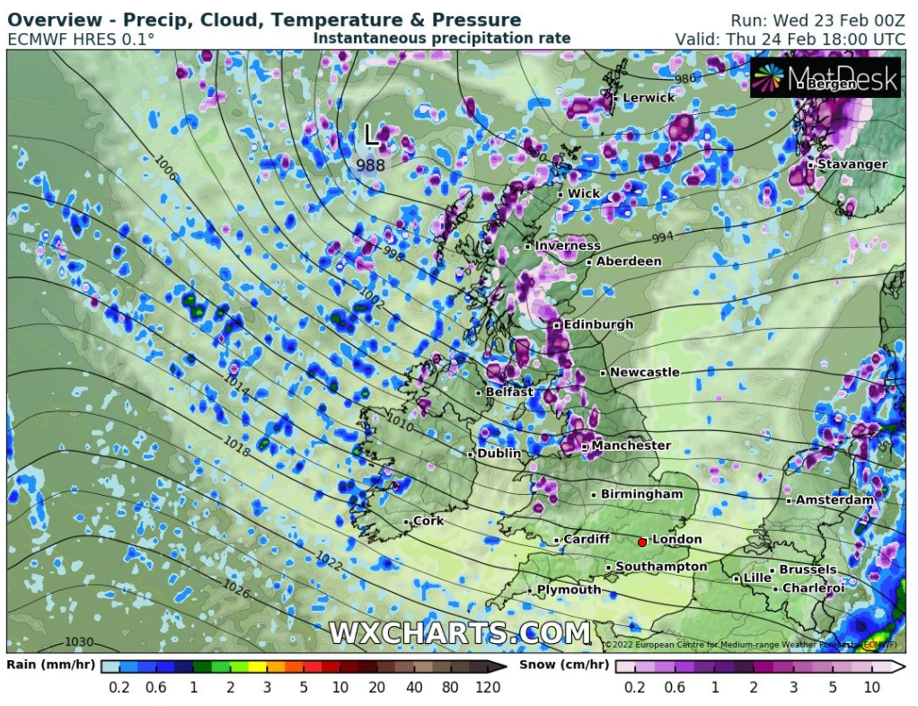
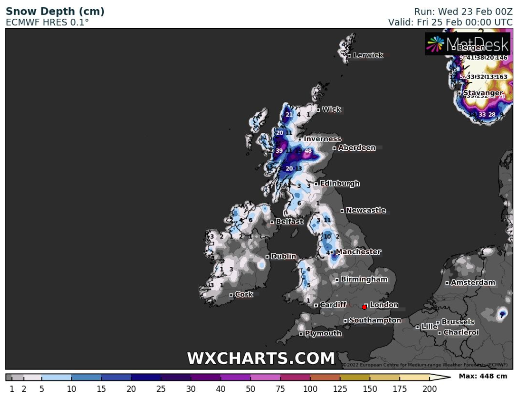
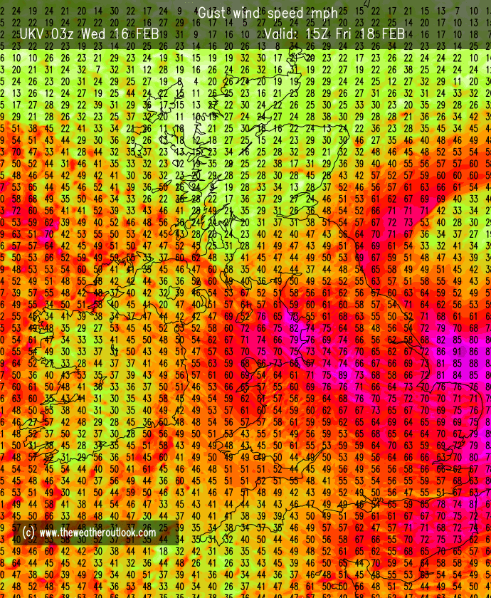
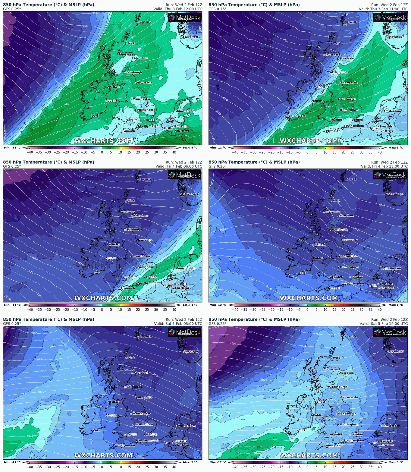
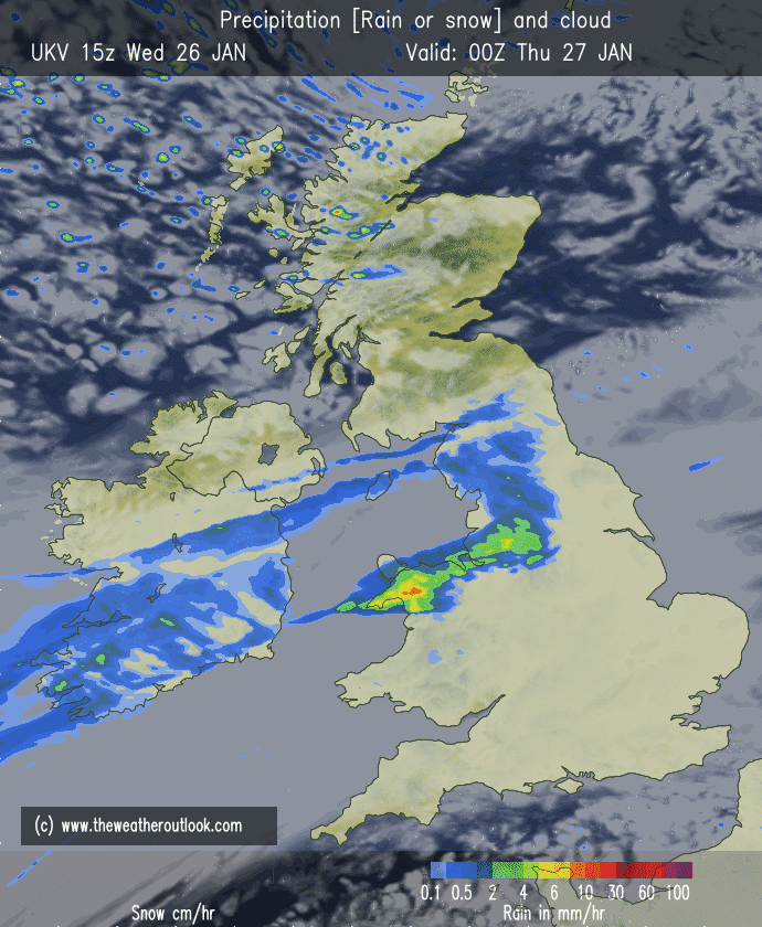
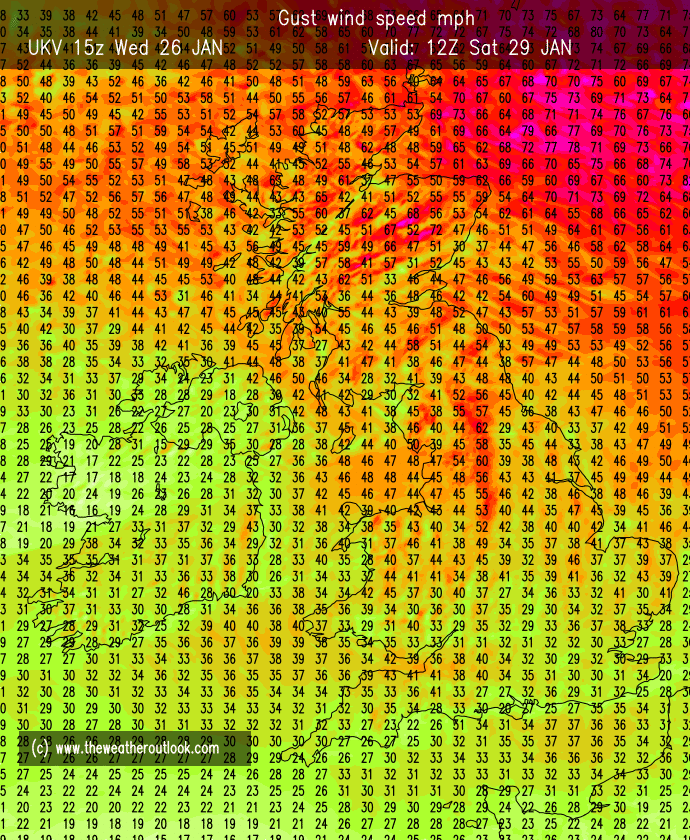
Another eventful week with plenty of rain, wind and some hill-snow. The second named-storm of the season, Storm Barra, brought ferocious winds to parts of Ireland and gale-force gusts to our region followed by a lot of rainfall, 22mm alone today.
We have certainly missed the worst of these storms and typically this is weather we are used to in winter. Storm Barra filled (lost intensity) quickly on Wednesday but its position meant we were subject to bouts of rain, hail, sleet and hill-snow on a strong WNW wind. Any dry days ahead? We certainly need some as it’s rained or snowed the last 10 out of 11 days.
Thursday: Cloudy with any showers easing then bright spells. Much-improved on Wednesday but some rain returning towards evening. Chilly. Max 6°C
Friday: A cool NW’ly airflow with some scattered wintry showers and bright spells. Max 6°C
Weekend: Some rain as temperatures rise.
Saturday: Mostly cloudy but dry to start. Patchy rain spreading across the region later in the morning and into the afternoon. Max 7°C
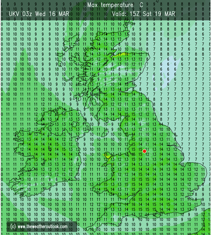
Sunday: Another cloudy day with some patchy light rain or drizzle. Much milder than recently as we return to double-figure temperatures for the first time in 3 weeks (20th November). Max 13°C
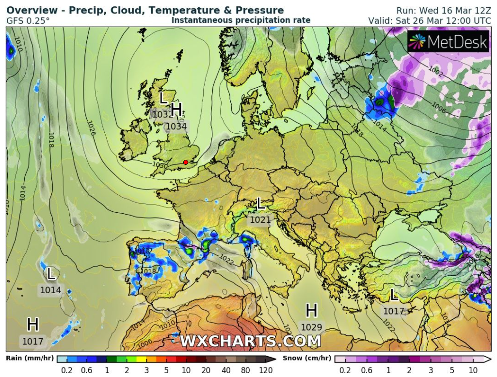
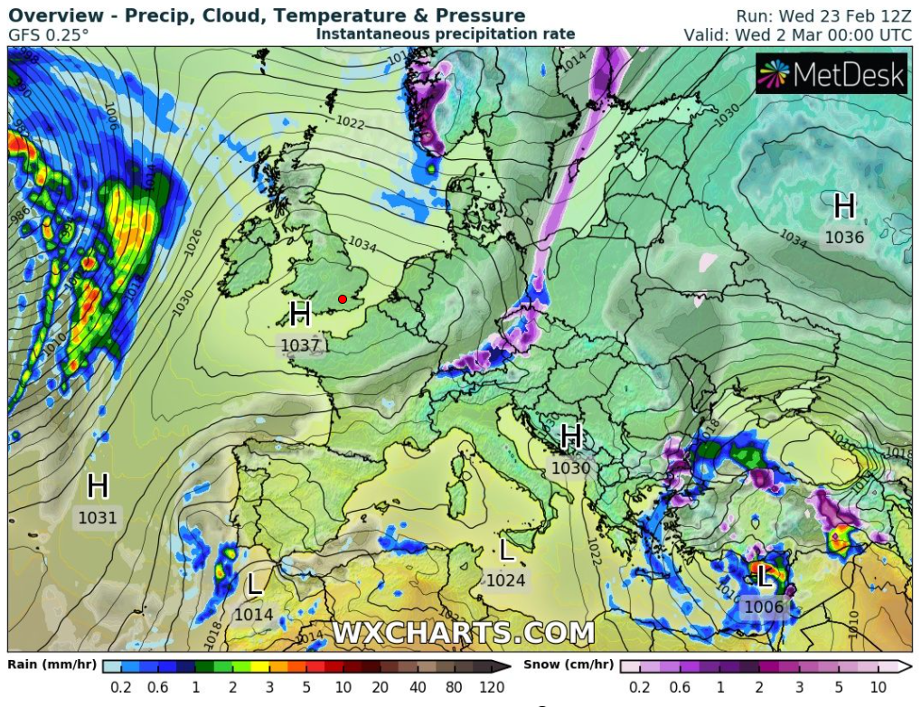
Outlook: Further patchy rain on Monday and mild but thereafter high pressure looks set to build, settling the week down to mostly cloudy skies, dry weather with a cool breeze. Temperatures dropping back to normal. No sign of a cold snap before Christmas.
Just for Fun: I’ll take a punt that Christmas will be milder-than-average, cloudy and mostly dry. Still 17 days to go so plenty of time to change
Follow @ChadWeather for local weather forecasts and warnings.
Thanks, Jon
Forecast Issued: Wednesday the 8th of December 2021 at 6:40pm Image: http://www.wxcharts.com
Well what a week of weather that was. The first named-storm of the season, Storm Arwen, arrived (Friday night) bringing locally severe gale-force gusts, an inch of rain, then much colder, Arctic air followed with a surprising snow event on the Sunday.
We certainly escaped the extreme winds that Arwen delivered. These were felt to our NE and SW with some local amateur weather stations in exposed elevated locations recording over 100mph. From Oldham council’s collection of weather stations, the highest gust was on Windy Hill at 58.4mph. We got off lightly.
As I wrote my blog a week ago and even a day before the weekend, it was looking like Sunday would be the calm after the storm with plenty of blue skies and sunshine but the day’s forecast changed quickly. A small feature developed during Saturday, to the NW of Scotland, with a possible SE’ly track which meant sleet or snow was now in the forecast for Sunday.
Even going into Saturday night it was unclear how much precipation would fall and what the actual track would be. Some computer models, notably the one the Met Office use, did not have this on their radar for us. Sunday dawned and a few computer models forecast the system very well and the wintry feature tracked SE.
By Sunday morning it was clear that we were in for several hours of snow (sleet and rain if you were much further W). It snowed quite heavily at times and between 11am and 3:30pm, with a total of 5cm accumulating here in Chadderton. Not bad considering the models, that did forecast the event, were suggesting 1-3cm. And all this still in Autumn.
In fact Sunday, November the 28th, was the coldest November day I have ever recorded with a maximum of +0.1C, almost an ice day. What followed for the evening was light winds, clear skies and plummeting temperatures, aided by the snow-cover. It then turned out to be the coldest November night I have ever recorded too, at -6.3C; values that will take some beating in winter itself.
My walk down Rochdale canal started dry but ended snowy – Sunday (28/11)A snowy Chadderton Hall Park – Sunday (28/11)Time to take the sledge out – Sunday (28/11)It was a bitter Monday morning (29/11) with temperatures down to -7°C widely and -10°C in parts of LancashireAshton-under-Lyne in the snow on Monday morning (29/11)
Thursday: Arctic air is back in place with a widespread frost to start and icy patches. Plenty of sunny spells on offer with a keen wind. Cloud arriving later in the day with a spell of rain overnight (perhaps a little sleet or wet-snow on the tops briefly). Milder overnight. Max 4°C Min 1°C
Friday: Rain moves away to be replaced by mostly cloudy conditions and although most will be dry, some patchy light rain/drizzle will be around. Max 8°C Min 4°C
Weekend: Colder again.
Saturday: Early rain replaced by bright spells and frequent wintry showers, falling as snow on the hills. Feeling cold in a gusty NW’ly. Max 6°C Min 0°C
Sunday: Windy but dry with sunny spells. That N’ly breeze making it feel cold once again. Frosty after dark. Max 5°C Min -2°C
Outlook: Favourable to stay on the cold side with showers at times, which will be wintry in places, more so on the hills. Some models hint at a day (maybe Tuesday) of very windy weather followed by a respite then more rain/hill-snow. Certainly an unsettled and changeable week.
Follow @ChadWeather on Twitter for the latest forecasts and weather warnings.
Thanks for reading as always, Jon
Forecast Issued: Wednesday the 1st of December 2021 at 8:55pm
Featured Photo: Chadderton Hall Park on Sunday (28/11)
All eyes on the weather this weekend as it turns colder, windier and in places wintry. Although we will escape the worst of the elements, it’s still a taster of the change of seasons. Will we see some snow? I’m expecting some to fall but more so on the hills where it could settle for a short period. With the ground still ‘warm’ at this time of year, settling snow doesn’t normal hang around long in areas away from elevation.
Thursday: A lovely day with plenty of sunshine after a frosty start. Feeling cold in the breeze. Cloud, wind and rain arriving later (overnight). Max 6°C
Friday: A deep area of low pressure will be swinging down from the NW which will bring the early rain. Colder air will dig in and the rain will turn showery. These showers will turn increasingly wintry especially over the hills (>300M), falling as sleet and snow. Hail is also expected with perhaps a rumble of thunder. Windy especially during the showers. A spell of rain and hill-snow possible overnight. Max 7°C
Weekend: Coldwith a biting wind.
Saturday: During the early hours rain with some hill-snow (watch Twitter for updates) will move in, quickly clearing to plenty of sunny spells during the morning. A scattering of wintry showers for the afternoon. Most notable will be the bitter, sub-zero wind-chill. There is a weather warning in place for strong and gusty winds; 40mph widely but 55mph can’t be ruled out in exposed places. Raw day. Max 5°C
Sunday: Despite the breeze the day will start frosty with some icy patches. A mostly dry day with plenty of sunshine but very cold. Max 4°C
Outlook: Turning milder into Monday with rain, preceded by hill-snow. Tuesday should see us back up to double-figure temperatures with further rain. Colder later in the week with wintry showers returning.
Follow @ChadWeather on Twitter for the latest weather forecasts and warnings.
Thanks,
Jon
Forecast Issued: Wednesday the 24 of November 2021 at 8:15pm.
Autumn is drawing to a close and with winter approaching everyone’s daily weather chat turns to when will it snow; especially after the annual media articles begin to circulate about snowfall and plummeting temperatures. Truth be had, it is very hard to predict snowfall accurately in the UK, more than 5 days ahead, even 3 days in some cases. Our complex weather set-up can see the potential for snow and cold in the coming days, but, like the butterfly effect, a minor shift in the weather systems can mean a cold plunge from the Arctic, gets shifted into mainland Europe. You will be surprised how often this happens in winter and our hopes of some snowy scenes are dashed as milder Atlantic air takes hold. With winter a couple of weeks away, it is looking like the end of November will see it turn much colder and perhaps wintry, but this is subject to change for the very reasons mentioned above.
Thursday: Cloudy, very mild and breezy. The cloud might be thick enough for some local drizzle/light rain during the morning and low-cloud on the hills. Max 14°C
Friday: Still very mild with a south-westerly airflow feeding in around a high pressure. This high means it will be mostly dry but cloudy with some bright spells. Max 14°C
Weekend: Eventually colder and sunnier.
Saturday: Another mostly cloudy day with some brightness. Light rain is expected late-evening and overnight as a weather-front moves in. Max 12°C
Sunday: A cold-front will have moved through the region introducing colder air from the north-northwest but plenty of sunny spells after a ground-frost to start. Odd shower can’t be ruled out, which could be wintry on the highest hills. Max 7°C
Monday: A dry day with plenty of sunny or bright spells on offer. The day is likely to have started with a touch of frost and some isolated mist or fog patches. Max 8°C
Outlook: A lot of dry weather with high pressure close by to our west. Cloudy spells at times but equally some sunny spells. Cold nights with some frost where clear spells last the longest. Towards the end of the week it looks like low pressure will arrive disrupting the settled conditions. The position of the low, i.e. what wind direction we encounter, is uncertain. Just favourable is a cold air-mass, so we would be likely to see bright spells and wintry showers. So, just as we near winter, some sleet or snow showers, especially on the higher ground, becomes a possibility. No sign of the -11°C and widespread snowfall that those media articles promote though – just a standard late-Autumn/early-Winter cold-snap.
For daily weather forecasts and updates follow @ChadWeather on Twitter.
Thanks for reading.
Thanks, Jon
Forecast Issued: Wednesday the 17th of November 2021 at 5:25pm
November is turning out to be a mild month despite a couple of frosty mornings and a chilly start. This mild theme will continue but there were some hints at something colder, perhaps from the Arctic, into the latter part of the month but latest computer models suggest the Atlantic pattern will win out and we stick to relatively mild southwesterly winds.
Thursday: A brief ridge of high pressure so dry with bright spells for the morning. Cloud thickening later in the day with a few showers out west. Max 12°C
Friday: Low pressure out to the west will move in, so becoming breezy with patchy rain here and there. A little milder. Max 13°C
Weekend: Generally settled.
Saturday: Cloudy with limited brightness but it should remain dry. A light northerly breeze. Max 12°C
Sunday: Little change. Mostly overcast with some brightness, especially west-facing areas as the wind turns easterly but remains light. Max 12°C
Outlook: Generally a lot of cloud but mostly dry as high pressure centres over mainland Europe. As the week progresses the weather will become wetter and windier as the Atlantic influence returns. Temperatures around average. No sign of the snowfall some of the media keep ‘predicting’ and even frosts will be lacking.
Follow @ChadWeather on Twitter for the latest forecasts and warnings.
Thanks, Jon
Forecast Issued: Wednesday the 10th of November 2021 at 10:05pm
A new month and a change to conditions more accustomed to the time of year as we saw temperatures fall away after what was a mild October. The month started very wet on Monday with most places seeing over an inch of rain leading to some localised flooding.
Since the deluge we’ve seen drier and calmer conditions with just a few isolated showers around. The settled theme will continue but after some recent sunny spells we will be slipping back into a cloudier and milder weather pattern.
I took advantage of the sunny morning on Wednesday with a walk around Greenbooth and its reservoirs.
There is certainly no sign of any snow yet and definitely no exact date of when it will arrive 😂. That is just more media clickbait.
Thursday: First frost of the season to start your day with a coating of white and some lovely blue skies. Sunny spells the order of the day and remaining dry. A slight northerly breeze. Turning cold quickly after dark with a frost again for the first part of the night before it turns cloudier from the northwest. Max 9°C Min 1°C
Friday: High pressure will be slipping into our southwest but with it a lot of cloud toppling in from the west to northwest with some localised light rain or drizzle. Winds picking up and milder air will arrive. Max 12°C Min 8°C
Weekend: Some patchy rain later on Saturday.
Saturday: Cloudy with a fresh breeze. Cloud thick enough later for some sporadic rain towards evening. Max 12°C Min 8°C
Sunday: Looking at another cloudy day but there might be a bit of brightness here and there. Mostly dry and similar temperatures. Max 11°C Min 7°C
Outlook: Littlechange with plenty of cloud. Rain or drizzle towards midweek then showery. Temperatures 10-12°C with no frosts on the cards.
📊 October 2021 Stats
Max 18.7°C (8th) Min 3.3°C (21st) Av. 11.2°C Wettest 10.8mm (20th) Av. Humidity 86% Av. Barometer 1012.8 hPa Max Gust 34.5mph (31st) Av. Wind Direction SW Rain 102.4mm (86% of average) Rain Registered Days 23 Dry Days 8
Follow @ChadWeather on Twitter for the latest forecasts.
Thanks,
Jon
Forecast Issued: Wednesday the 3rd of November 2021 at 6:40pm.
Not long left of October now and has been milder than average with mostly cloudy conditions. As we enter November, there are signs that occasionally, high pressure will be out to our west, and low pressure to the east, meaning a chilly northerly to north-westerly airflow will affect the UK at times.
Colder feel next week as we end up on the north side of the Jet Stream
Thursday: A cloudy morning with some patchy rain. The band of heavy and persistent rain that has brought flooding to parts of Cumbria and the Lake District will eventually move southeast across the region so expect some heavy rain into the evening and overnight. Mild and windy. Max 16°C
Friday: Morning rain eventually becoming showery. Cooler with winds easing. Max 14°C
Weekend: Further rain or showers to come.
Saturday: Low pressure close by. A day of bright spells and showers, some heavy. Cooler. Max 12°C
Sunday: There is a chance that low pressure could form to our southwest and bring a spell of prolonged rain either side of showers during the morning and evening. So an unsettled day, breezy and cool. Max 11°C
Outlook: Looking colder but nothing drastic with maximum temperatures around 9-11°C. Some chilly nights with ground-frosts where skies remain clear. As for the weather pattern, bright spells and showers.
Nothing majorly cold next week but nowhere near as mild as we have been used to as winds come from the N or NW.
Follow @ChadWeather on Twitter for the latest weather forecasts.
October can be a funny month, delivering Autumn chills or in fact Indian Summers late in the month. This week we have experienced some warm days despite the rain but it’s the colder air that arrives to start off the forecast.
Thursday: Much colder air moves in across the region. Plenty of sunny skies with just the chance of a shower but isolated. Windy making it feel even colder. Max 11°C
Much colder air arrives for Thursday but it won’t last long as westerly winds return
Friday: A ridge of high pressure cuts off the northerly airflow so not as cold. Some showers feeding in off the Irish Sea. Breezy with some sunny spells mixed in. Still feeling fresh. Max 11°C
Weekend: Becoming less settled and milder.
Saturday: A dry and bright morning but cloud increasing and rain arriving later in the day; most likely towards evening or overnight. Max 13°C
We should escape with a dry Saturday during daylight hours with rain not arriving until late-evening
Sunday: Early rain replaced by bright spells and a few showers. Breezy but milder. Max 14°C
Outlook: The Jet Stream will control our weather so unsettled with spells of rain/showers coming in off the Atlantic and temperatures around normal for the time of year. No sign of any early snow or frosts; just a typical autumnal week.
Our British weather is ever-changing so follow @ChadWeather on Twitter for the very latest forecasts and warnings.
It’s been a quiet week but frustratingly cloudy and damp at times, although rainfall amounts remain low and temperatures nothing notably cold or warm.
High pressure has been in charge of our weather, but cloud has been dragged around the top edge and down across the region on a northwesterly breeze hence the lack of sunny skies. With high pressure in control we have cut off the Jet Stream, which normally brings spells of wet and windy weather, and it will continue like that for a little longer but change is on the way next week.
The final third of October is likely to see increasing amounts of rainfall and some windy spells.
Thursday: Another mostly cloudy day with pockets of spit-spot rain or drizzle. Breezy. Max 15°C
Friday: Cloudy with patchy rain moving south initially, followed by colder air but lovely blue skies and sunny spells. A fresh feel with a northerly breeze. Cold for the first part of the night with a ground-frost forming before cloud increases from the southwest again. Max 12°C
Colder air spreads down from the North during Friday
Weekend: Cloudy conditions return.
Saturday: Cloud thickening from the southwest with some rain later in the day. Doesn’t look particularly heavy. Becoming milder again. Max 14°C
Sunday: A cloudy and quite warm day for the time of year with some bright spells. Max 16°C
Outlook: The Jet Stream looks set to return to influence our week with periods of rain or showers. Some brighter and drier slots in between and quite breezy at times. Temperatures mild to very mild at first but signs of cooler or colder conditions later in the week.
The Jet Stream is back controlling our weather next week
Follow @ChadWeather on Twitter for the latest weather forecasts.
September ended on a very wet note but overall it was another drier-than-average month which contained some hot days early on; in fact hotter than anything we experienced in August.
Ex-hurricane Sam will disturb the Jet Stream and head between Iceland and the UK this week, allowing for some very warm air to come across the region for a couple of days. After that it’s looking settled, as we keep most of the weather fronts away to the west but I am expecting a lot of cloud and a few misty or foggy mornings.
Thursday: Mostly cloudy with some patchy rain or drizzle in a few sports prone to the south-westerly airflow. On the plus side, it will be warm for the time of year, with temperatures around 5 degrees above average. Max 20°C
Friday: Early cloud, perhaps some patchy rain again, especially the further west you are. Brighter spells for the afternoon and feeling warm despite the breeze. Max 19°C
Weekend: We lose the warmth eventually.
Saturday: Patchy rain moving slowly southeast displacing the warm air late-in-the-day. Some areas staying dry. Max 18°C
Sunday: Drier with plenty of cloud. Some brightness but notably cooler with a north-westerly airflow. Max 15°C
Outlook: Originally it looked like it would be turning warmer again as next week progressed but it’s looking pretty cool at times with a risk of a ground-frost midweek depending on cloud-cover. A lot of dry weather as high pressure builds, which could well turn out to be a ‘cloudy high’ or anticyclonic gloom. Pockets of drizzle where low-cloud sits.
High pressure builds next week but it will be cooler with the air from the NWSome chilly nights inland next week, especially if cloud breaks
September 2021 Stats
Max 27.9°C (7th) Min 6.7°C (30th) Av. 15.2°C Wettest 32mm (30th) Av. Humidity 82% Av. Barometer 1018.3 hPa Max Gust 26.5mph (30th) Av. Wind Direction SW Rain 65.4mm (71% of average) Rain Registered Days 13 Dry Days 17
Follow @ChadWeather on Twitter for your latest weather forecast.